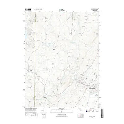
2016 Map of Oakland
USGS Topo · Published 2016About this map
The Youghiogheny River and Little Youghiogheny River converge in this high-altitude corner of the Maryland-West Virginia border, anchoring a dense network of mountain settlements and early transportation corridors. The western edge follows the state line between Preston County, West Virginia and Garrett County, Maryland, where small communities like Corinth, Hutton, and Crellin align along the banks of Snowy Creek. This area was a nexus for local mining and timbering operations, evidenced by the named Corinth Mine and Crellin Mine Rd.
Find a feature on this map
141 named features on this map. Tap any name to fly to it.
Don’t see what you’re looking for? This feature index may not catch every label — zoom into the map to look around manually.
Map Details
Editions of this 2016 Oakland Map
This is the sole edition of this map. No revisions or reprints were ever made.
Other maps of this area

1886 · St. George
USGS Topo · 1:125,000

1891 · St. George
USGS Topo · 1:125,000

1895 · Piedmont
USGS Topo · 1:125,000

1899 · Oakland
USGS Topo · 1:62,500

1900 · Accident
USGS Topo · 1:62,500

1900 · Oakland
USGS Topo · 1:62,500

1904 · Bruceton
USGS Topo · 1:62,500

1907 · Kingwood
USGS Topo · 1:62,500

1925 · Kingwood
USGS Topo · 1:62,500

1926 · Bruceton
USGS Topo · 1:62,500