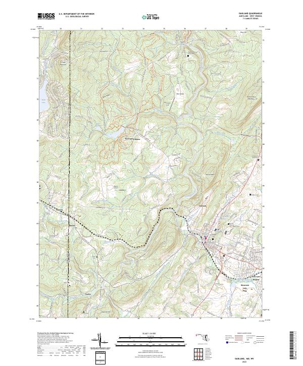
2023 Map of Oakland
USGS Topo · Published 2023About this map
The Youghiogheny River carves through this western Maryland landscape, serving as a central geographic corridor between Oakland and the West Virginia border. The administrative and social heart of the region is centered on the Garrett County Courthouse, with the nearby Little Youghiogheny River / Reservoir providing a distinct local landmark. Industrial and agricultural history is visible in the presence of the Corinth Mine near the state line, while various family-named burial sites such as the Weber Family Cem and Sines Cem offer significant genealogical value for those tracing local roots.
Find a feature on this map
169 named features on this map. Tap any name to fly to it.
Don’t see what you’re looking for? This feature index may not catch every label — zoom into the map to look around manually.
Map Details
Editions of this 2023 Oakland Map
This is the sole edition of this map. No revisions or reprints were ever made.
Other maps of this area

1886 · St. George
USGS Topo · 1:125,000

1891 · St. George
USGS Topo · 1:125,000

1895 · Piedmont
USGS Topo · 1:125,000

1899 · Oakland
USGS Topo · 1:62,500

1900 · Accident
USGS Topo · 1:62,500

1900 · Oakland
USGS Topo · 1:62,500

1904 · Bruceton
USGS Topo · 1:62,500

1907 · Kingwood
USGS Topo · 1:62,500

1925 · Kingwood
USGS Topo · 1:62,500

1926 · Bruceton
USGS Topo · 1:62,500