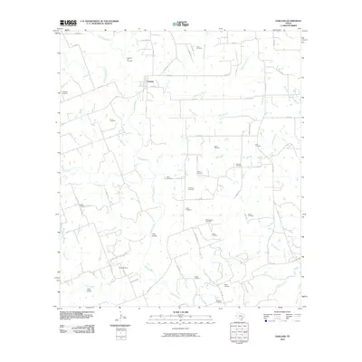
2010 Map of Oakland
USGS Topo · Published 2010About this map
Oakland and its surrounding rural landscapes in Colorado County are defined by the convergence of the East Navidad River and West Navidad River, which form the main branch of the Navidad River just south of town. The area is exceptionally notable for its high density of family and community burial grounds, reflecting the deep genealogical roots of this Texas settlement. From the Oakland Hill Cemetery to the Bila Hora Cemetery and Shiloh Cemetery, these sites are scattered across the watershed, often located near local tributaries like Cottonwood Creek and Honey Creek.
Find a feature on this map
73 named features on this map. Tap any name to fly to it.
Don’t see what you’re looking for? This feature index may not catch every label — zoom into the map to look around manually.
Map Details
Editions of this 2010 Oakland Map
This is the sole edition of this map. No revisions or reprints were ever made.
Other maps of this area

1919 · Schulenburg
USGS Topo · 1:62,500

1953 · Seguin
USGS Topo · 1:250,000

1956 · Glidden
USGS Topo · 1:62,500

1957 · Borden
USGS Topo · 1:24,000

1958 · Seguin
USGS Topo · 1:250,000

1962 · Sublime
USGS Topo · 1:24,000

1962 · Hallettsville
USGS Topo · 1:24,000

1965 · Oakland
USGS Topo · 1:24,000

1965 · Sawmill Branch
USGS Topo · 1:24,000
1965 · Weimar
USGS Topo · 1:24,000