
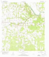
1957 Map of Borden
USGS Topo · Published 1958About this map
The Colorado River winds through the northeastern corner of this 1957 landscape, where the Texas and New Orleans (Southern Pacific) railroad defines the central corridor. Small rural communities like Borden and Shaws Bend anchor a region characterized by family-named cemeteries and community landmarks. Genealogists can find numerous burial sites, including the Old Osage Cem, Fitzgerald Cem, and Hams Cem, while social life is centered around institutions such as St Johns Ch and Oak Grove Sch.
Find a feature on this map
36 named features on this map. Tap any name to fly to it.
Don’t see what you’re looking for? This feature index may not catch every label — zoom into the map to look around manually.
Map Details
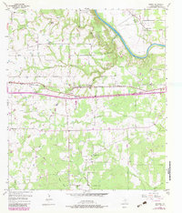
Editions of this 1957 Borden Map
3 editions found
Other maps of this area

1919 · Fayettsville
USGS Topo · 1:62,500

1919 · Schulenburg
USGS Topo · 1:62,500

1953 · Seguin
USGS Topo · 1:250,000

1956 · Glidden
USGS Topo · 1:62,500

1956 · La Grange
USGS Topo · 1:62,500

1957 · Ellinger
USGS Topo · 1:24,000

1957 · Columbus
USGS Topo · 1:24,000

1957 · Ammannsville
USGS Topo · 1:24,000

1958 · Seguin
USGS Topo · 1:250,000

1958 · Frelsburg
USGS Topo · 1:24,000