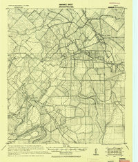
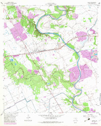
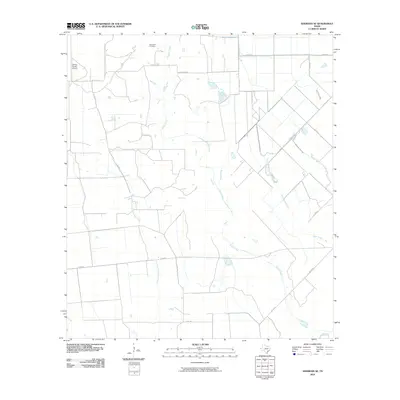
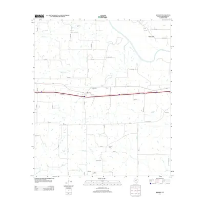
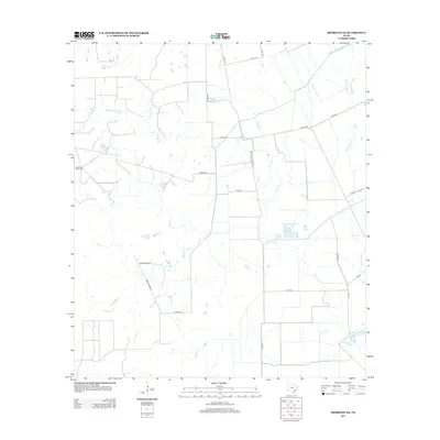
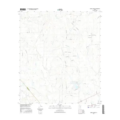
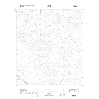
1957 Map of Borden
USGS Topo · Published 1983About this map
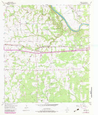
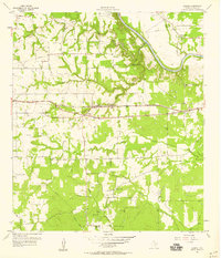
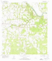
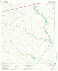
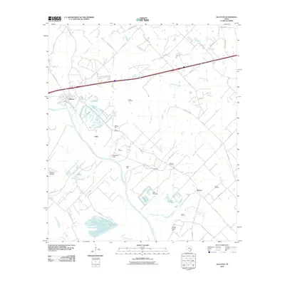
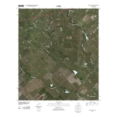
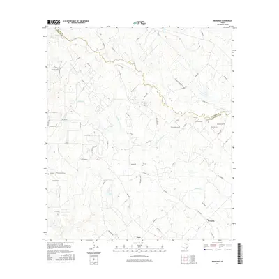
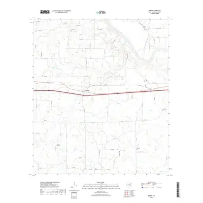
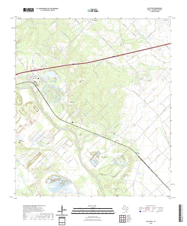
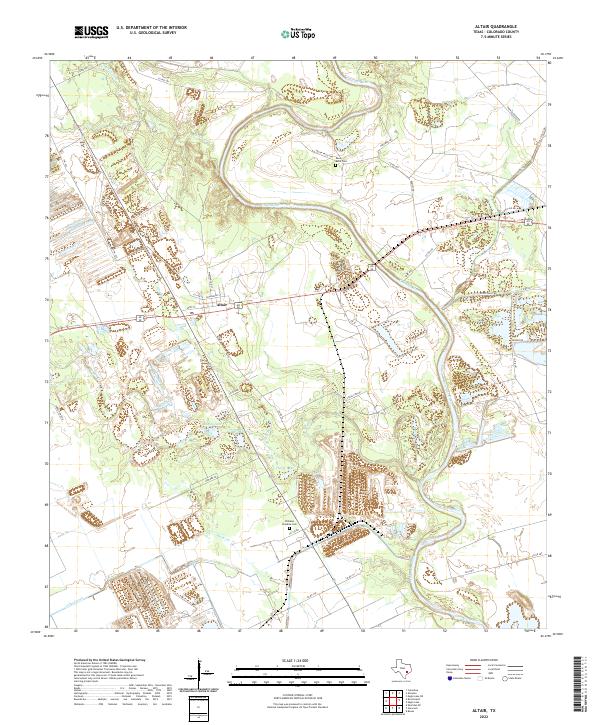
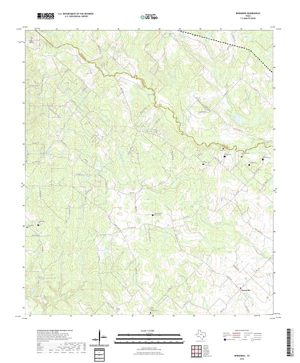
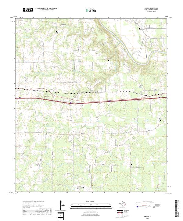
The Colorado River winds through the northeastern corner of this landscape, creating a distinct boundary for the community of Shaws Bend. This area shows a transition from river-bottom lands to the interior cattle and farming country, marked by the presence of the Southern Pacific railroad corridor. The settlement of Borden and its associated Borden Siding highlight the importance of rail transit to the local economy during the mid-20th century.
Find a feature on this map
35 named features on this map. Tap any name to fly to it.
Don’t see what you’re looking for? This feature index may not catch every label — zoom into the map to look around manually.
Map Details
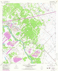
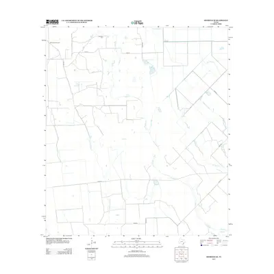
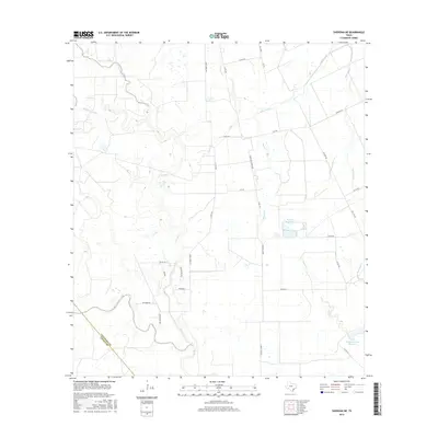
Editions of this 1957 Borden Map
3 editions found
Historical Maps of Borden Through Time
55 maps found
1919 Fayettsville
Colorado County, TX
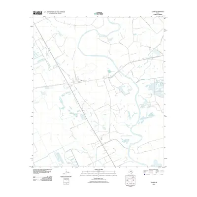
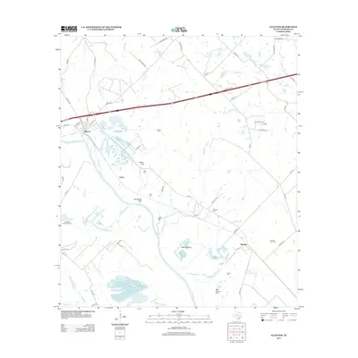
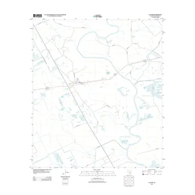
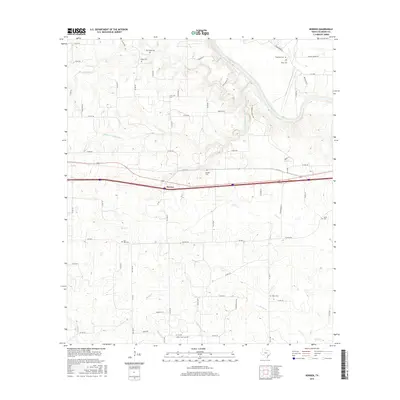
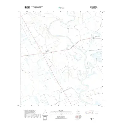
1957 Altair
Colorado County, TX
1957 Borden
Colorado County, TX
1958 Alleyton
Colorado County, TX
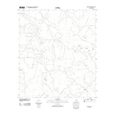
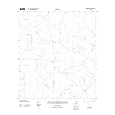
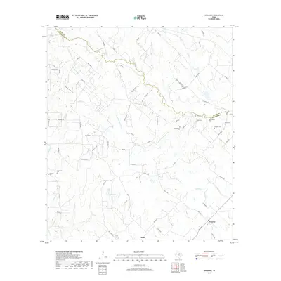
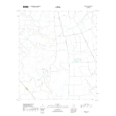
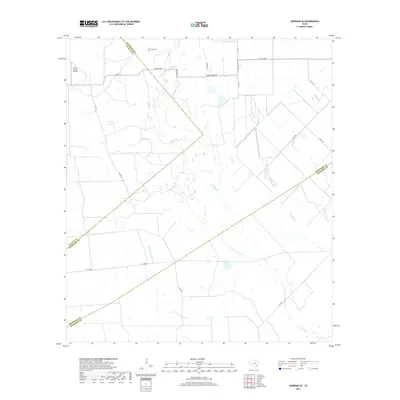
1958 Bernardo
Colorado County, TX
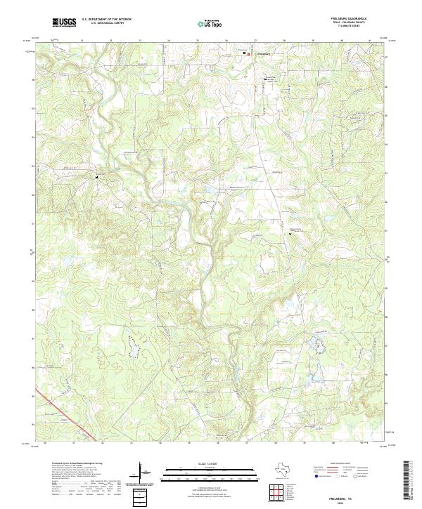
1958 Frelsburg
Colorado County, TX
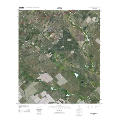
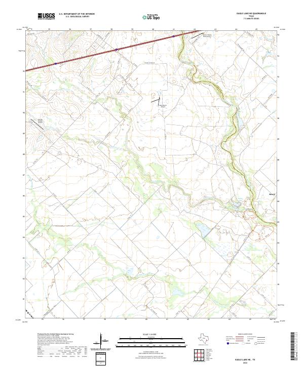
1963 Eagle Lake NE
Colorado County, TX
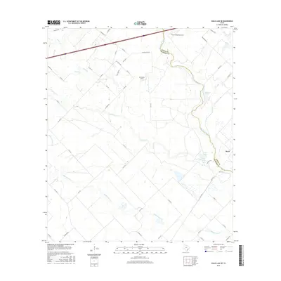
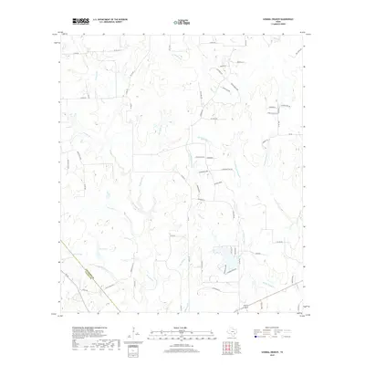
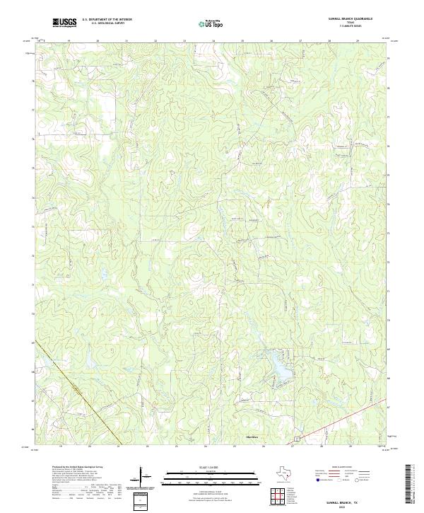
1965 Sawmill Branch
Colorado County, TX
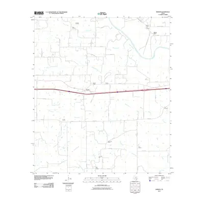
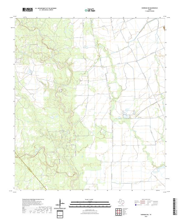
1965 Sheridan NE
Colorado County, TX
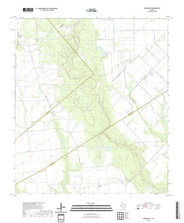
1965 Sheridan SE
Colorado County, TX
2010 Alleyton
Colorado County, TX
2010 Altair
Colorado County, TX
2010 Bernardo
Colorado County, TX
2010 Borden
Colorado County, TX
2010 Eagle Lake NE
Colorado County, TX
2010 Frelsburg
Colorado County, TX
2010 Sawmill Branch
Colorado County, TX
2010 Sheridan NE
Colorado County, TX
2010 Sheridan SE
Colorado County, TX
2013 Alleyton
Colorado County, TX
2013 Altair
Colorado County, TX
2013 Bernardo
Colorado County, TX
2013 Borden
Colorado County, TX
2013 Eagle Lake NE
Colorado County, TX
2013 Frelsburg
Colorado County, TX
2013 Sawmill Branch
Colorado County, TX
2013 Sheridan NE
Colorado County, TX
2013 Sheridan SE
Colorado County, TX
2016 Alleyton
Colorado County, TX
2016 Altair
Colorado County, TX
2016 Bernardo
Colorado County, TX
2016 Borden
Colorado County, TX
2016 Eagle Lake NE
Colorado County, TX
2016 Frelsburg
Colorado County, TX
2016 Sawmill Branch
Colorado County, TX
2016 Sheridan NE
Colorado County, TX
2016 Sheridan SE
Colorado County, TX
2019 Alleyton
Colorado County, TX
2019 Altair
Colorado County, TX
2019 Bernardo
Colorado County, TX
2019 Borden
Colorado County, TX
2019 Eagle Lake NE
Colorado County, TX
2019 Frelsburg
Colorado County, TX
2019 Sawmill Branch
Colorado County, TX
2019 Sheridan NE
Colorado County, TX
2019 Sheridan SE
Colorado County, TX
2022 Alleyton
Colorado County, TX
2022 Altair
Colorado County, TX
2022 Bernardo
Colorado County, TX
2022 Borden
Colorado County, TX
2022 Eagle Lake NE
Colorado County, TX
2022 Frelsburg
Colorado County, TX
2022 Sawmill Branch
Colorado County, TX
2022 Sheridan NE
Colorado County, TX
2022 Sheridan SE
Colorado County, TX