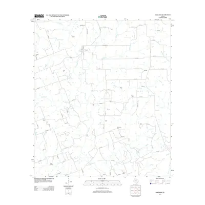
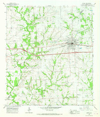
2013 Map of Oakland
USGS Topo · Published 2013About this map
The Navidad River and its numerous tributaries, including the E Navidad River and W Navidad River, define the rural landscape of Colorado County. Central to this area is the small settlement of Oakland, surrounded by a remarkably high density of family and community burial grounds. These sites, such as the Oakland Hill Cem, Bila Hora Cem, and Shiloh Cem, suggest a deeply rooted agrarian population and complex genealogy tied to the local land. The drainage patterns are intricate, with named waterways like McKinnon Br, Miller Br, and Big Rocky Cr cutting through the terrain. From Long Hollow to Pine Hollow, the map traces a network of country roads and ranch lanes that connect these isolated homesteads and cemeteries, providing a detailed view of the region's mid-20th-century rural infrastructure.
Find a feature on this map
78 named features on this map. Tap any name to fly to it.
Don’t see what you’re looking for? This feature index may not catch every label — zoom into the map to look around manually.
Map Details
Editions of this 2013 Oakland Map
This is the sole edition of this map. No revisions or reprints were ever made.
Other maps of this area
1919 · Schulenburg
USGS Topo · 1:62,500

1953 · Seguin
USGS Topo · 1:250,000
1956 · Glidden
USGS Topo · 1:62,500
1957 · Borden
USGS Topo · 1:24,000

1958 · Seguin
USGS Topo · 1:250,000
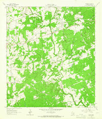
1962 · Sublime
USGS Topo · 1:24,000
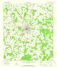
1962 · Hallettsville
USGS Topo · 1:24,000
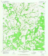
1965 · Oakland
USGS Topo · 1:24,000
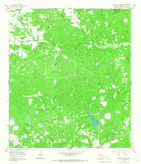
1965 · Sawmill Branch
USGS Topo · 1:24,000
1965 · Weimar
USGS Topo · 1:24,000