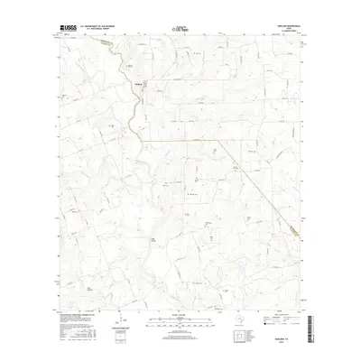
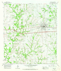
2016 Map of Oakland
USGS Topo · Published 2016About this map
The Navidad River and its multiple forks define the landscape of this region along the border of Colorado and Lavaca Counties. Near the northern bend of the river, the settlement of Oakland serves as a central point for a network of country roads, including E FM 532 and Co RD 214. The map is particularly notable for its high density of family and community burial grounds, which are scattered throughout the agricultural terrain. These include sites like Oakland Hill Cem, Shiloh Cem, and Bila Hora Cem. The topography is shaped by numerous seasonal drainage paths such as Long Hollow and Pine Hollow, which feed into the complex system of creeks like Cottonwood Cr and Miller Br. This 2016 survey documents the enduring rural structure of the Texas coastal plains, where small cemeteries often represent the primary remaining markers of early family landholdings.
Find a feature on this map
93 named features on this map. Tap any name to fly to it.
Don’t see what you’re looking for? This feature index may not catch every label — zoom into the map to look around manually.
Map Details
Editions of this 2016 Oakland Map
This is the sole edition of this map. No revisions or reprints were ever made.
Other maps of this area
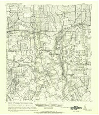
1919 · Schulenburg
USGS Topo · 1:62,500

1953 · Seguin
USGS Topo · 1:250,000
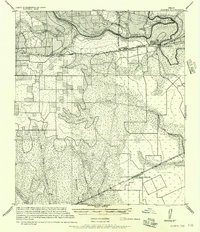
1956 · Glidden
USGS Topo · 1:62,500
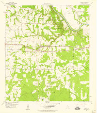
1957 · Borden
USGS Topo · 1:24,000

1958 · Seguin
USGS Topo · 1:250,000
1962 · Sublime
USGS Topo · 1:24,000
1962 · Hallettsville
USGS Topo · 1:24,000
1965 · Oakland
USGS Topo · 1:24,000
1965 · Sawmill Branch
USGS Topo · 1:24,000
1965 · Weimar
USGS Topo · 1:24,000