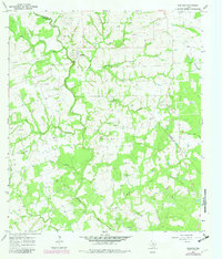
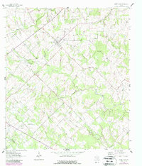
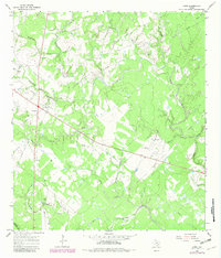
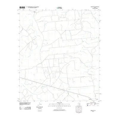
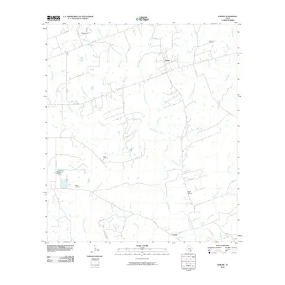
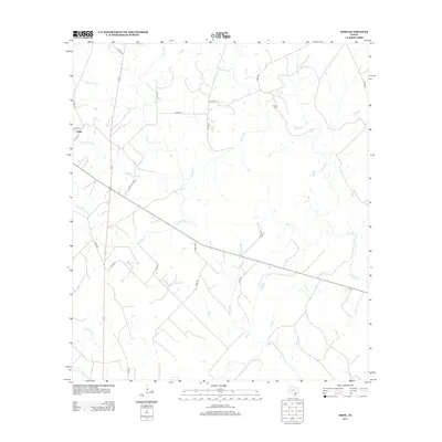
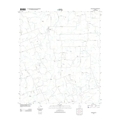
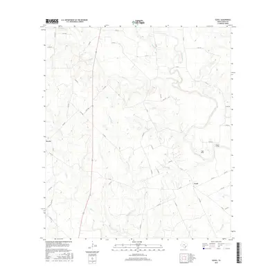
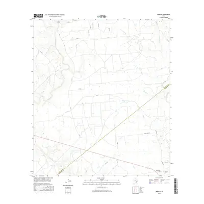
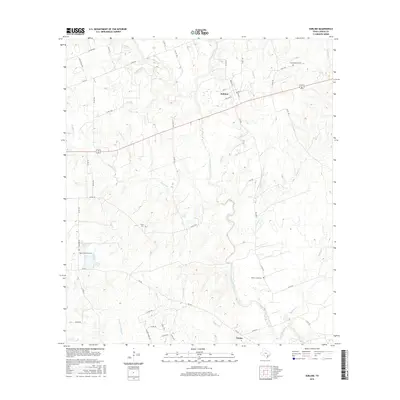
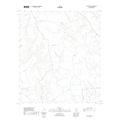
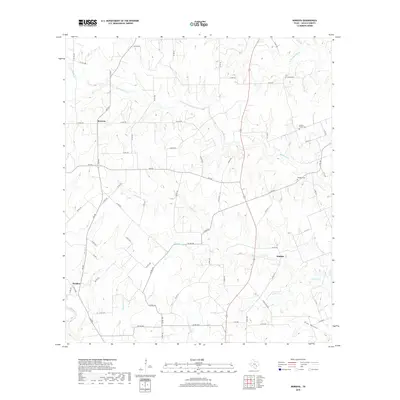
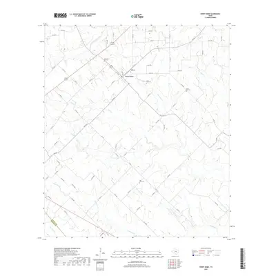
1965 Map of Oakland
USGS Topo · Published 1982About this map
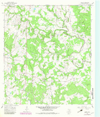
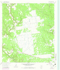
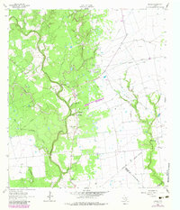
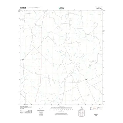
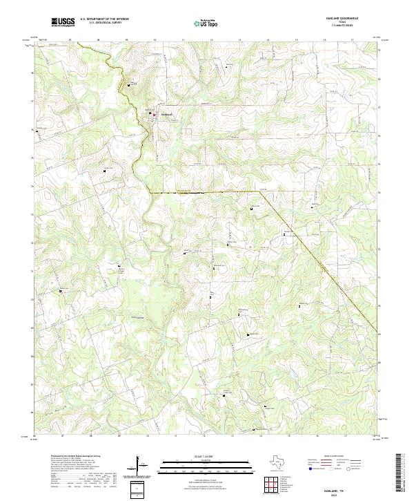
The Navidad River winds through the rural landscape of Lavaca and Colorado counties, anchoring a region defined by scattered settlements and numerous family and community burial grounds. Near the settlement of Oakland, the river is joined by Cottonwood Creek and East Clear Creek, creating a network of waterways that shaped the local geography. The map reveals a dense concentration of historical sites essential for genealogical research, including Oakland Hill Cem, Shiloh Cem, and the unique Bile Hora Cem located near a community center. Small homesteads and rural landmarks like Brown Chapel and Tesch appear alongside legacy features such as Willowsburg Cem and Keilers Cem. This mid-century view, updated with late-1970s aerial data, preserves the locations of numerous Gravel Pits and creek crossings before modern land use altered the traditional rural corridors of south-central Texas.
Find a feature on this map
38 named features on this map. Tap any name to fly to it.
Don’t see what you’re looking for? This feature index may not catch every label — zoom into the map to look around manually.
Map Details
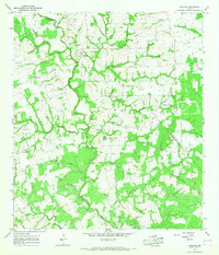
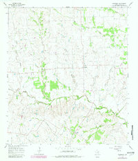
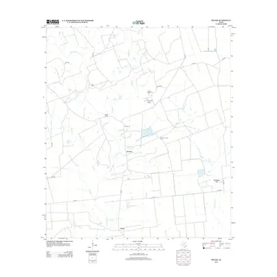
Editions of this 1965 Oakland Map
2 editions found
Historical Maps of Oakland Through Time
66 maps found
1962 Hallettsville SE
Lavaca County, TX
1962 Sublime
Lavaca County, TX
1963 Sweet Home
Lavaca County, TX
1964 Ezzell
Lavaca County, TX
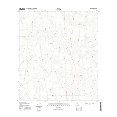
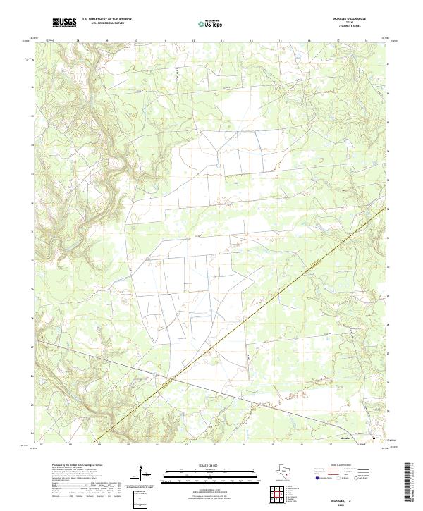
1964 Morales
Lavaca County, TX
1964 Speaks
Lavaca County, TX
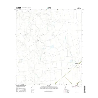
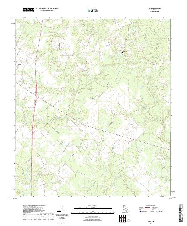
1965 Hope
Lavaca County, TX
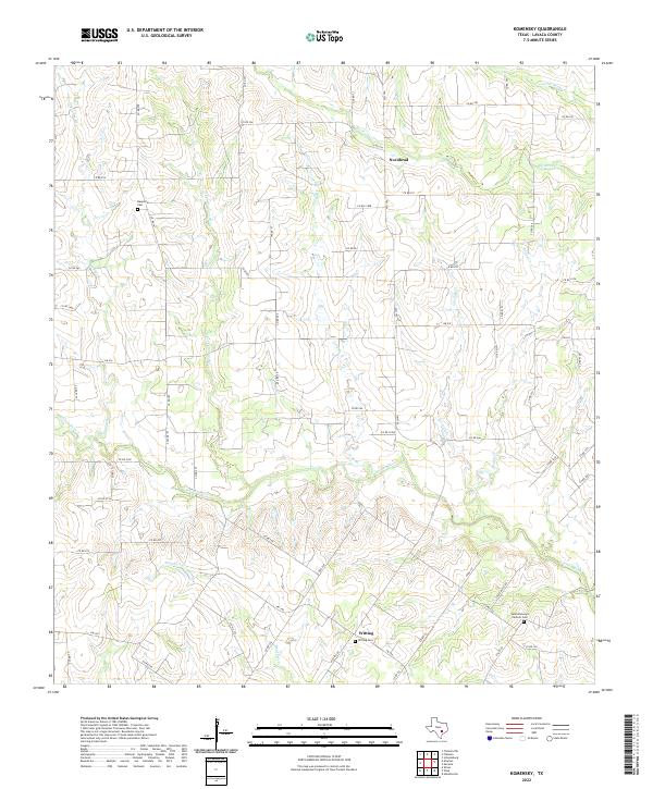
1965 Komensky
Lavaca County, TX
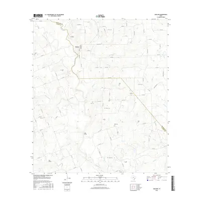
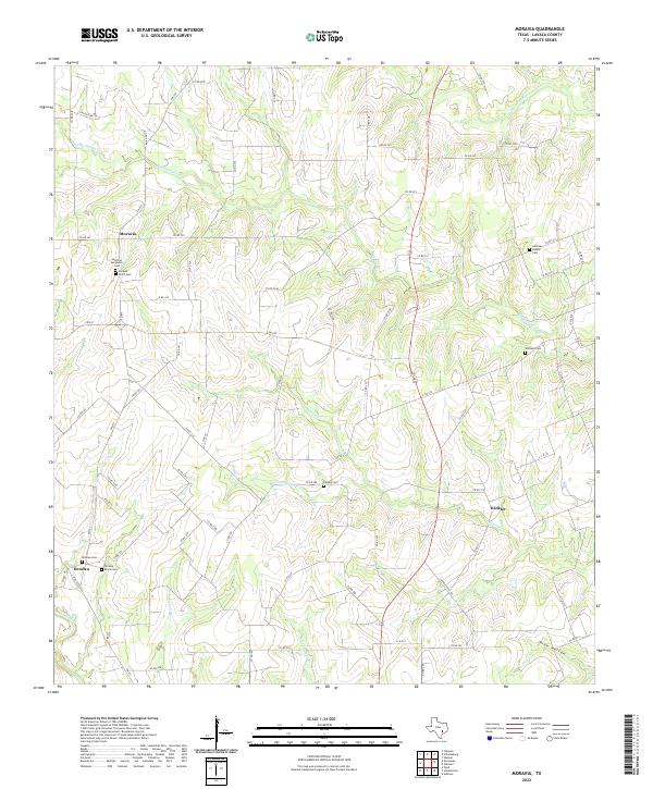
1965 Moravia
Lavaca County, TX
1965 Oakland
Lavaca County, TX
1965 Wied
Lavaca County, TX
2010 Ezzell
Lavaca County, TX
2010 Hallettsville SE
Lavaca County, TX
2010 Hope
Lavaca County, TX
2010 Komensky
Lavaca County, TX
2010 Morales
Lavaca County, TX
2010 Moravia
Lavaca County, TX
2010 Oakland
Lavaca County, TX
2010 Speaks
Lavaca County, TX
2010 Sublime
Lavaca County, TX
2010 Sweet Home
Lavaca County, TX

2010 Wied
Lavaca County, TX
2013 Ezzell
Lavaca County, TX
2013 Hallettsville SE
Lavaca County, TX
2013 Hope
Lavaca County, TX
2013 Komensky
Lavaca County, TX
2013 Morales
Lavaca County, TX
2013 Moravia
Lavaca County, TX
2013 Oakland
Lavaca County, TX
2013 Speaks
Lavaca County, TX
2013 Sublime
Lavaca County, TX
2013 Sweet Home
Lavaca County, TX

2013 Wied
Lavaca County, TX
2016 Ezzell
Lavaca County, TX
2016 Hallettsville SE
Lavaca County, TX
2016 Hope
Lavaca County, TX
2016 Komensky
Lavaca County, TX
2016 Morales
Lavaca County, TX
2016 Moravia
Lavaca County, TX
2016 Oakland
Lavaca County, TX
2016 Speaks
Lavaca County, TX
2016 Sublime
Lavaca County, TX
2016 Sweet Home
Lavaca County, TX
2016 Wied
Lavaca County, TX
2019 Ezzell
Lavaca County, TX
2019 Hallettsville SE
Lavaca County, TX
2019 Hope
Lavaca County, TX
2019 Komensky
Lavaca County, TX
2019 Morales
Lavaca County, TX
2019 Moravia
Lavaca County, TX
2019 Oakland
Lavaca County, TX
2019 Speaks
Lavaca County, TX
2019 Sublime
Lavaca County, TX
2019 Sweet Home
Lavaca County, TX
2019 Wied
Lavaca County, TX
2022 Ezzell
Lavaca County, TX
2022 Hallettsville SE
Lavaca County, TX
2022 Hope
Lavaca County, TX
2022 Komensky
Lavaca County, TX
2022 Morales
Lavaca County, TX
2022 Moravia
Lavaca County, TX
2022 Oakland
Lavaca County, TX
2022 Speaks
Lavaca County, TX
2022 Sublime
Lavaca County, TX
2022 Sweet Home
Lavaca County, TX
2022 Wied
Lavaca County, TX