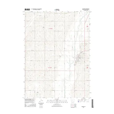
2015 Map of Oakland
USGS Topo · Published 2015About this map
The West Nishnabotna River carves a distinctive valley through the center of this Pottawattamie County landscape, anchoring the town of Oakland. The settlement is laid out east of the river, where streets like Chautauqua Ave and Oakland Ave meet the river's edge. The surrounding agricultural terrain is defined by a dense network of drainages, including Silver Cr, Minimum Cr, and Slocum Cr, which feed into the larger river system.
Find a feature on this map
50 named features on this map. Tap any name to fly to it.
Don’t see what you’re looking for? This feature index may not catch every label — zoom into the map to look around manually.
Map Details
Editions of this 2015 Oakland Map
This is the sole edition of this map. No revisions or reprints were ever made.
Other maps of this area

1954 · Omaha
USGS Topo · 1:250,000
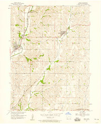
1956 · Neola
USGS Topo · 1:24,000
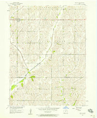
1956 · Treynor
USGS Topo · 1:24,000

1957 · Omaha
USGS Topo · 1:250,000
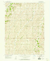
1957 · Taylor
USGS Topo · 1:24,000

1958 · Omaha
USGS Topo · 1:250,000
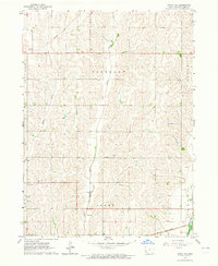
1963 · Avoca NW
USGS Topo · 1:24,000
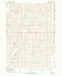
1963 · Avoca SE
USGS Topo · 1:24,000
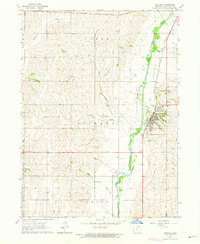
1963 · Oakland
USGS Topo · 1:24,000
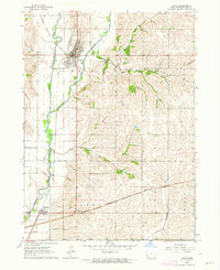
1963 · Avoca
USGS Topo · 1:24,000