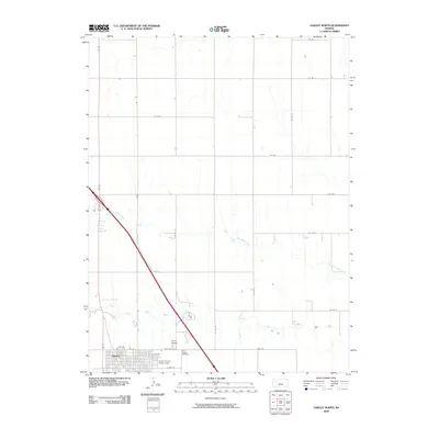
2009 Map of Oakley North
USGS Topo · Published 2009About this map
Oakley sits at the southern edge of this West Kansas survey, serving as a hub for the surrounding plains. The local landscape is defined by the convergence of the South Fork Saline River and the North Fork Saline River, which cut shallow paths through the agricultural grid. For genealogists and local historians, the proximity of Oakley Cemetery and Saint Joseph Cemetery near the town center provides clear points of reference for family research. The northern layout of the town includes the Logan County Fairgrounds and several specific residential and industrial routes such as Fort Fox and E 6th St. Outside the town center, the map illustrates the systematic organization of the high plains, where county roads like Co Rd 30 and Co Rd I stretch across the vast drainage area of the Saline River forks.
Find a feature on this map
23 named features on this map. Tap any name to fly to it.
Don’t see what you’re looking for? This feature index may not catch every label — zoom into the map to look around manually.
Map Details
Editions of this 2009 Oakley North Map
This is the sole edition of this map. No revisions or reprints were ever made.
Other maps of this area

1954 · Goodland
USGS Topo · 1:250,000

1956 · Goodland
USGS Topo · 1:250,000

1957 · Goodland
USGS Topo · 1:250,000

1979 · Menlo
USGS Topo · 1:24,000
1979 · Oakley SW
USGS Topo · 1:24,000
1979 · Oakley South
USGS Topo · 1:24,000
1979 · Grinnell South
USGS Topo · 1:24,000
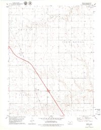
1979 · Mingo
USGS Topo · 1:24,000

1979 · Oakley North
USGS Topo · 1:24,000
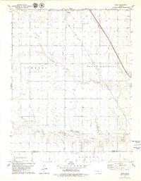
1979 · Spica
USGS Topo · 1:24,000