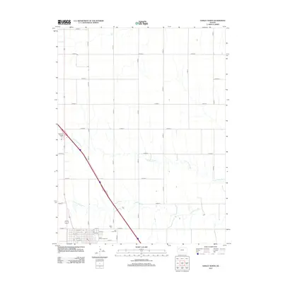
2012 Map of Oakley North
USGS Topo · Published 2012About this map
The Logan County seat at Oakley is defined by a strictly organized section-line road network and the divergent paths of the N Fork Saline River and S Fork Saline River. This 2012 survey shows the northern residential and civic growth of the community, where the local street grid including Price Ave and W 7th St meets the open agricultural expanses of the High Plains.
Find a feature on this map
31 named features on this map. Tap any name to fly to it.
Don’t see what you’re looking for? This feature index may not catch every label — zoom into the map to look around manually.
Map Details
Editions of this 2012 Oakley North Map
This is the sole edition of this map. No revisions or reprints were ever made.
Other maps of this area

1954 · Goodland
USGS Topo · 1:250,000

1956 · Goodland
USGS Topo · 1:250,000

1957 · Goodland
USGS Topo · 1:250,000

1979 · Menlo
USGS Topo · 1:24,000
1979 · Oakley SW
USGS Topo · 1:24,000
1979 · Oakley South
USGS Topo · 1:24,000
1979 · Grinnell South
USGS Topo · 1:24,000
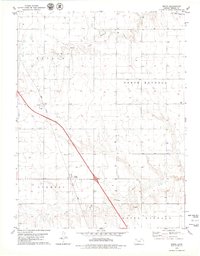
1979 · Mingo
USGS Topo · 1:24,000

1979 · Oakley North
USGS Topo · 1:24,000
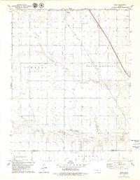
1979 · Spica
USGS Topo · 1:24,000