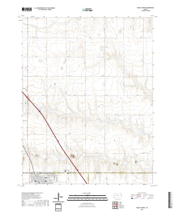
2022 Map of Oakley North
USGS Topo · Published 2022About this map
The N Fork Saline River and S Fork Saline River cut distinct paths across the High Plains of western Kansas, defining the drainage patterns of this agricultural landscape. The town of Oakley anchors the southwestern corner, serving as a regional hub where the borders of Thomas, Logan, and Gove counties converge. This intersection of municipal boundaries highlights the town's historical and administrative significance to the surrounding farming communities.
Find a feature on this map
38 named features on this map. Tap any name to fly to it.
Don’t see what you’re looking for? This feature index may not catch every label — zoom into the map to look around manually.
Map Details
Editions of this 2022 Oakley North Map
This is the sole edition of this map. No revisions or reprints were ever made.
Other maps of this area

1954 · Goodland
USGS Topo · 1:250,000

1956 · Goodland
USGS Topo · 1:250,000

1957 · Goodland
USGS Topo · 1:250,000

1979 · Menlo
USGS Topo · 1:24,000
1979 · Oakley SW
USGS Topo · 1:24,000
1979 · Oakley South
USGS Topo · 1:24,000
1979 · Grinnell South
USGS Topo · 1:24,000
1979 · Mingo
USGS Topo · 1:24,000

1979 · Oakley North
USGS Topo · 1:24,000
1979 · Spica
USGS Topo · 1:24,000