
1979 Map of Oakley North
USGS Topo · Published 1979About this map
Oakley sits at the southern edge of this West Kansas landscape, serving as a hub where the Union Pacific railroad cuts a diagonal path across the High Plains. This 1979 survey captures the town's local infrastructure, including the Fairground, Hospital, and a municipal Park. Beyond the town limits, the geography is defined by the headwaters of the Saline River system, specifically the North Fork Saline River and South Fork Saline River. These waterways carve distinct drainage patterns through the townships of South Randall and Grinnell. Genealogists will find the Oakley Cem and St Josephs Cem clearly marked near the Thomas and Logan County line. The map also documents numerous Gravel Pits scattered throughout the river breaks, indicating the local reliance on aggregate extraction for road and rail maintenance during this period.
Find a feature on this map
19 named features on this map. Tap any name to fly to it.
Don’t see what you’re looking for? This feature index may not catch every label — zoom into the map to look around manually.
Map Details
Editions of this 1979 Oakley North Map
This is the sole edition of this map. No revisions or reprints were ever made.
Other maps of this area

1954 · Goodland
USGS Topo · 1:250,000

1956 · Goodland
USGS Topo · 1:250,000

1957 · Goodland
USGS Topo · 1:250,000

1979 · Menlo
USGS Topo · 1:24,000
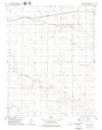
1979 · Oakley SW
USGS Topo · 1:24,000
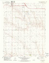
1979 · Oakley South
USGS Topo · 1:24,000
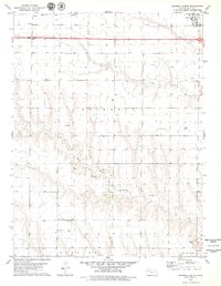
1979 · Grinnell South
USGS Topo · 1:24,000
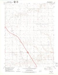
1979 · Mingo
USGS Topo · 1:24,000
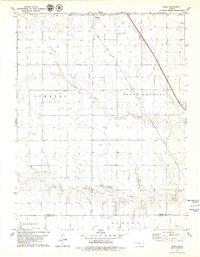
1979 · Spica
USGS Topo · 1:24,000
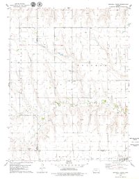
1979 · Grinnell North
USGS Topo · 1:24,000