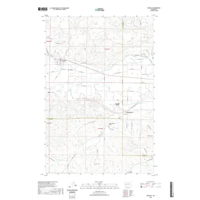
2020 Map of Oakville
USGS Topo · Published 2020About this map
Oakville serves as the primary hub in this landscape where the Black River converges with the Chehalis River. The topography transitions from the elevated Black Hills and the southern reaches of Capitol Forest in the north to the broad, flat agricultural expanses of Independence Valley and Lincoln Creek Valley in the south. This modern survey illustrates a patchwork of rural development and conserved timberlands, tracing the historical boundaries where Grays Harbor, Thurston, and Lewis counties meet.
Find a feature on this map
70 named features on this map. Tap any name to fly to it.
Don’t see what you’re looking for? This feature index may not catch every label — zoom into the map to look around manually.
Map Details
Editions of this 2020 Oakville Map
This is the sole edition of this map. No revisions or reprints were ever made.
Other maps of this area

1941 · Walville
USGS Topo · 1:62,500

1941 · Meskill
USGS Topo · 1:62,500

1941 · Gate
USGS Topo · 1:62,500

1941 · Ford
USGS Topo · 1:62,500

1953 · Hoquiam
USGS Topo · 1:250,000

1953 · Rochester
USGS Topo · 1:62,500

1953 · Pe Ell
USGS Topo · 1:62,500

1953 · Malone
USGS Topo · 1:62,500

1953 · Adna
USGS Topo · 1:62,500

1957 · Hoquiam
USGS Topo · 1:250,000