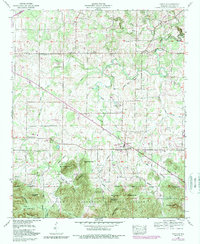
1960 Map of Oakville
USGS Topo · Published 1989About this map
Speake High School and the surrounding community of Speake serve as a central hub in this corner of Lawrence County, where small-scale farming meets the northern edge of the William B. Bankhead National Forest. The landscape is a patchwork of rural homesteads and family burial grounds, such as Stephenson Cemetery and Aldridge Grove Cemetery, which offer deep genealogical value for the area. North of the forest boundary, the terrain is defined by the winding course of West Flint Creek and its tributaries, supporting scattered settlements like Fairfield and Oakville. Local recreation and community life are highlighted by the Moulton Speedway and the nearby Drag strip, while numerous country churches, including North Grove Church and Valley Grove Church, anchor the social geography. In the southern portion of the quadrangle, the elevation rises sharply into the wooded ridges of Brushy Mountain and Mull Mountain, transitioning away from the agricultural flats of the Tennessee Valley.
Find a feature on this map
79 named features on this map. Tap any name to fly to it.
Don’t see what you’re looking for? This feature index may not catch every label — zoom into the map to look around manually.
Map Details
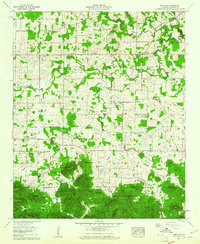
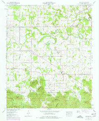
Editions of this 1960 Oakville Map
3 editions found
Other maps of this area

1935 · Moulton
USGS Topo · 1:24,000

1935 · Upshaw
USGS Topo · 1:24,000

1935 · Danville
USGS Topo · 1:48,000

1935 · Oakville
USGS Topo · 1:24,000

1936 · Caddo
USGS Topo · 1:24,000

1936 · Mc Kendry
USGS Topo · 1:24,000

1936 · Trinity
USGS Topo · 1:24,000

1936 · Moulton
USGS Topo · 1:48,000

1936 · Masterson
USGS Topo · 1:24,000

1936 · Stroups Crossroads
USGS Topo · 1:24,000