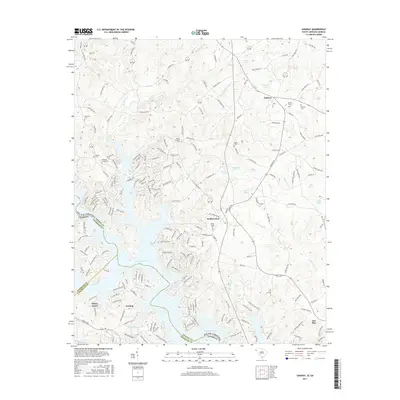
2017 Map of Oakway
USGS Topo · Published 2017About this map
Hartwell Lake dominates the southern reaches of this landscape, its intricate, branching fingers reaching into the borderlands where South Carolina and Georgia meet. The terrain is a complex network of ridges and drainages, where older inland settlements like Oakway and South Union maintain their presence alongside modern shoreline developments. The map provides significant genealogical value through its density of burial sites, including Oakway Cem, South Union Cem, and Mount Pleasant Cem. The agricultural and rural character of the region is evident in the numerous small impoundments such as Prater Pond, Varnadore Pond, and Gibson Pond, which dot the landscape north of the reservoir. This modern survey captures the persistence of traditional community anchors like Nazareth Ch and Pleasant Grove Cem even as the primary geography of the area has been redefined by the massive waterway at the junction of Oconee, Stephens, and Franklin counties.
Find a feature on this map
194 named features on this map. Tap any name to fly to it.
Don’t see what you’re looking for? This feature index may not catch every label — zoom into the map to look around manually.
Map Details
Editions of this 2017 Oakway Map
This is the sole edition of this map. No revisions or reprints were ever made.
Other maps of this area

1886 · Walhalla
USGS Topo · 1:125,000

1888 · Pickens
USGS Topo · 1:125,000

1891 · Carnesville
USGS Topo · 1:125,000

1892 · Walhalla
USGS Topo · 1:125,000

1893 · Elberton
USGS Topo · 1:125,000

1894 · Pickens
USGS Topo · 1:125,000

1896 · Walhalla
USGS Topo · 1:125,000

1954 · Greenville
USGS Topo · 1:250,000

1958 · Greenville
USGS Topo · 1:250,000

1958 · Seneca
USGS Topo · 1:24,000