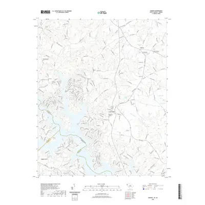
2020 Map of Oakway
USGS Topo · Published 2020About this map
Hartwell Lake dominates the central landscape of this border region, where the winding fingers of the reservoir reach into the hills of Oconee County and Franklin County. The topography is defined by significant drainage systems such as Little Choestoea Cr and Fair Play Cr, which flow toward the sprawling lake basin. Small settlements like Oakway and South Union serve as local hubs, characterized by a dense network of country roads and family-named landmarks. Genealogists will find a wealth of specific data here, as the map meticulously records numerous church-affiliated burial grounds, including the South Union Baptist Church Graveyard and the Nazareth Methodist Church Graveyard. The placement of these cemeteries and several independent plots like Marett Cem provides a clear view of the historic family and congregational footprints that have shaped these Georgia and South Carolina communities.
Find a feature on this map
225 named features on this map. Tap any name to fly to it.
Don’t see what you’re looking for? This feature index may not catch every label — zoom into the map to look around manually.
Map Details
Editions of this 2020 Oakway Map
This is the sole edition of this map. No revisions or reprints were ever made.
Other maps of this area

1886 · Walhalla
USGS Topo · 1:125,000

1888 · Pickens
USGS Topo · 1:125,000

1891 · Carnesville
USGS Topo · 1:125,000

1892 · Walhalla
USGS Topo · 1:125,000

1893 · Elberton
USGS Topo · 1:125,000

1894 · Pickens
USGS Topo · 1:125,000

1896 · Walhalla
USGS Topo · 1:125,000

1954 · Greenville
USGS Topo · 1:250,000

1958 · Greenville
USGS Topo · 1:250,000

1958 · Seneca
USGS Topo · 1:24,000