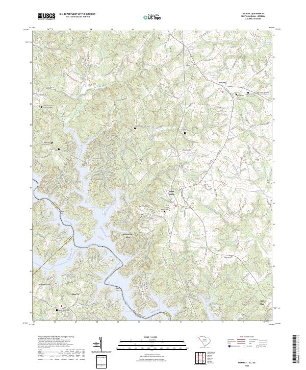
2024 Map of Oakway
USGS Topo · Published 2024About this map
Hartwell Lake and the Tugaloo River define the winding border between Oconee County and Georgia in this detailed study of the South Carolina upstate. The landscape is characterized by a dense network of country roads and family-named landmarks, reflecting a deep-rooted rural settlement pattern. Significant for genealogists, the map identifies numerous historic burial sites, including the Oakway Wesleyan Church Graveyard and the Nazareth Methodist Church Graveyard.
Find a feature on this map
203 named features on this map. Tap any name to fly to it.
Don’t see what you’re looking for? This feature index may not catch every label — zoom into the map to look around manually.
Map Details
Editions of this 2024 Oakway Map
This is the sole edition of this map. No revisions or reprints were ever made.
Historical Maps of Oconee County Through Time
11 maps found
1957 Tugaloo Lake
Oconee County, SC
1961 Old Pickens
Oconee County, SC
1961 Whetstone
Oconee County, SC
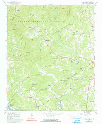
1963 Holly Springs
Oconee County, SC
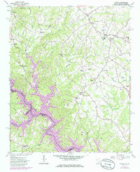
1963 Oakway
Oconee County, SC
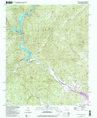
1997 Tugaloo Lake
Oconee County, SC
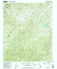
1997 Whetstone
Oconee County, SC
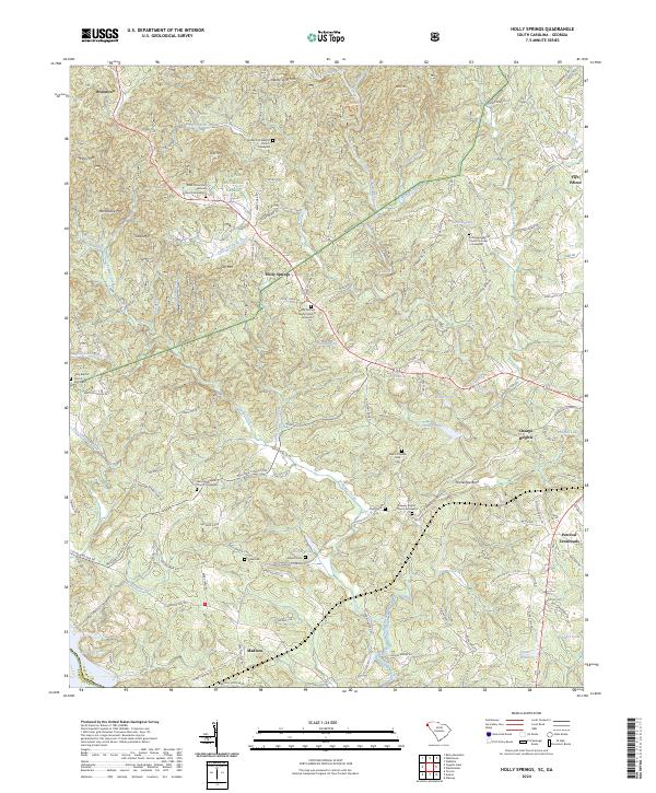
2024 Holly Springs
Oconee County, SC
2024 Oakway
Oconee County, SC
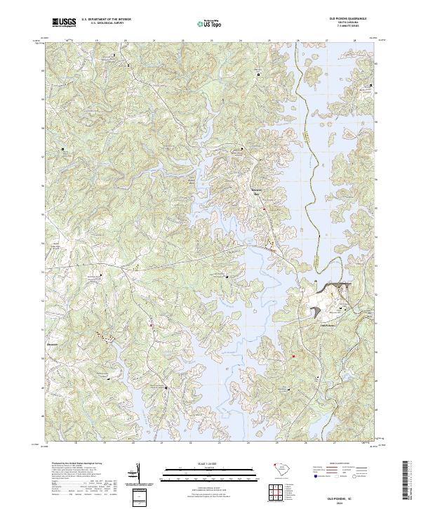
2024 Old Pickens
Oconee County, SC
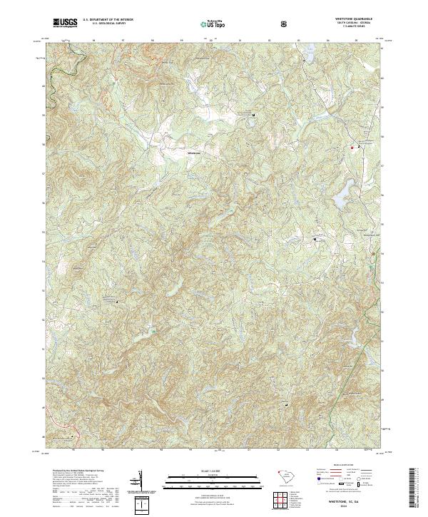
2024 Whetstone
Oconee County, SC