
1969 Map of Oasis Well
USGS Topo · Published 1973About this map
The Emigrant Trail traverses the high desert landscape of the Sublette and Sweetwater county line, following a historic path used by westward travelers. This late 1960s survey documents the complex system of draws and canyons that defined the movement of people and resources across this arid corridor. Along the southern edge, the Sublette Cutoff provides evidence of the established routes that branched off the main trail to navigate the difficult terrain near Slate Creek.
Find a feature on this map
14 named features on this map. Tap any name to fly to it.
Don’t see what you’re looking for? This feature index may not catch every label — zoom into the map to look around manually.
Map Details
Editions of this 1969 Oasis Well Map
This is the sole edition of this map. No revisions or reprints were ever made.
Other maps of this area

1955 · Preston
USGS Topo · 1:250,000

1955 · Lander
USGS Topo · 1:250,000

1958 · Lander
USGS Topo · 1:250,000

1958 · Preston
USGS Topo · 1:250,000

1961 · Lander
USGS Topo · 1:250,000

1962 · Preston
USGS Topo · 1:250,000
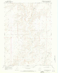
1968 · Monument Butte NE
USGS Topo · 1:24,000

1968 · Anderson Canyon
USGS Topo · 1:24,000
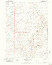
1968 · Monument Butte
USGS Topo · 1:24,000
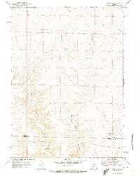
1969 · Sugar Loaf
USGS Topo · 1:24,000