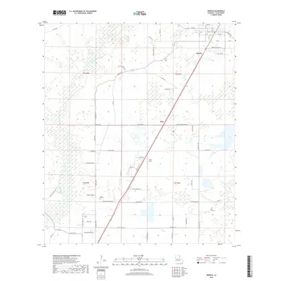
2018 Map of Oberlin
USGS Topo · Published 2018About this map
The Calcasieu River meanders through this portion of Allen Parish, defining a landscape of wetlands and low-lying drainages like Stines Cr and Reeves Cr. At the heart of the region, Oberlin serves as a primary settlement, its grid structured by streets like Martin Luther King Dr and Acadian Ave. The map reflects a rural infrastructure built around local transport and community landmarks, featuring small settlements like Elder and the aviation facilities at Wilder Airport.
Find a feature on this map
63 named features on this map. Tap any name to fly to it.
Don’t see what you’re looking for? This feature index may not catch every label — zoom into the map to look around manually.
Map Details
Editions of this 2018 Oberlin Map
This is the sole edition of this map. No revisions or reprints were ever made.
Other maps of this area

1935 · Mittie
USGS Topo · 1:31,680

1947 · Kinder
USGS Topo · 1:31,680

1947 · Foley
USGS Topo · 1:31,680

1947 · Oberlin
USGS Topo · 1:31,680

1947 · Pine Chapel
USGS Topo · 1:31,680

1947 · Le Blanc
USGS Topo · 1:31,680

1947 · Elton
USGS Topo · 1:31,680

1947 · Edna
USGS Topo · 1:31,680
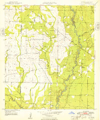
1948 · Mittie
USGS Topo · 1:24,000
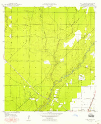
1948 · Pine Chapel
USGS Topo · 1:24,000