2024 Map of Oberlin
USGS Topo · Published 2024About this map
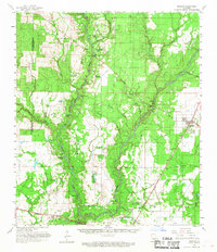
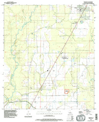
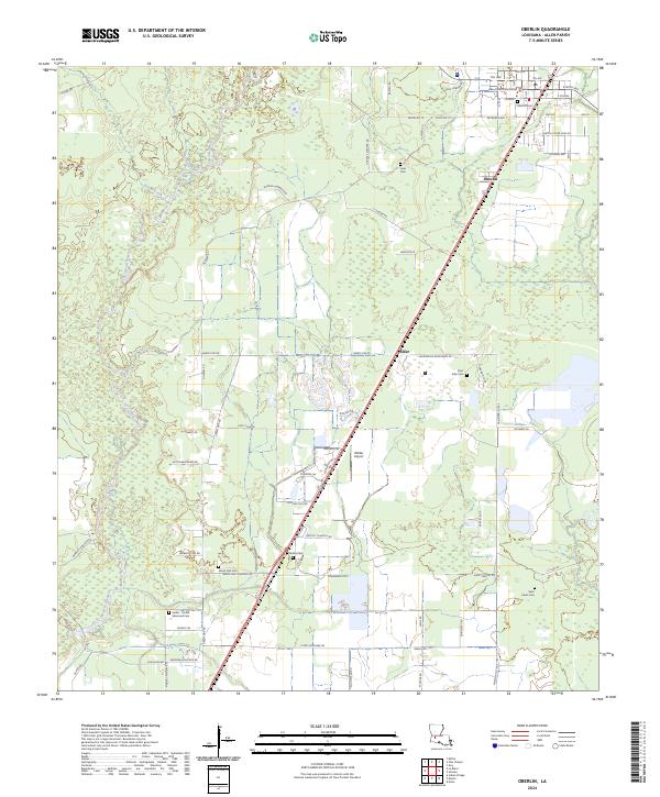
The Allen Parish Courthouse stands as the central landmark of Oberlin, situated in a landscape defined by the winding course of the Calcasieu River. This survey captures the parish seat at a point where the local economy and geography remain closely tied to the timber-rich lowlands and the riparian corridors of Simes Creek and Reeves Creek. To the southwest, the smaller settlement of Elder and the Wilder Airport reflect the ongoing utility of the regional transport network anchored by Us HWY 165.
Find a feature on this map
76 named features on this map. Tap any name to fly to it.
Don’t see what you’re looking for? This feature index may not catch every label — zoom into the map to look around manually.
Map Details
Editions of this 2024 Oberlin Map
This is the sole edition of this map. No revisions or reprints were ever made.
Historical Maps of Emad Through Time
6 maps found