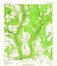
1961 Map of Oberlin
USGS Topo · Published 1963About this map
The Calcasieu River and Whisky Chitto Creek dominate this 1961 landscape in Allen Parish, weaving through a terrain defined by timber and emerging petroleum development. The town of Oberlin serves as the focal point, situated along the Missouri Pacific railroad line. Family and community history is anchored in several small settlements like Mittie and Simmons Settlement, alongside a network of country churches including Twin Oak Ch and Harmony Church. The geography reveals a transition from traditional river-bound landmarks to an industrializing economy, evidenced by the Oberlin Oil Field and Le Blanc Oil Field. Mapping here captures the specific rural infrastructure of the early 1960s, from the Oberlin Lookout Tower to the various cemeteries like Pine Chapel Cem and Lyles Cem that mark the parish's long-standing family homesteads.
Find a feature on this map
57 named features on this map. Tap any name to fly to it.
Don’t see what you’re looking for? This feature index may not catch every label — zoom into the map to look around manually.
Map Details
Editions of this 1961 Oberlin Map
2 editions found
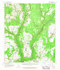
Other maps of this area

1935 · Mittie
USGS Topo · 1:31,680

1935 · Oakdale
USGS Topo · 1:31,680

1942 · Oakdale
USGS Topo · 1:62,500

1947 · Kinder
USGS Topo · 1:31,680

1947 · Foley
USGS Topo · 1:31,680

1947 · Oberlin
USGS Topo · 1:31,680

1947 · Pine Chapel
USGS Topo · 1:31,680

1947 · Le Blanc
USGS Topo · 1:31,680

1947 · Elton
USGS Topo · 1:31,680

1947 · Edna
USGS Topo · 1:31,680