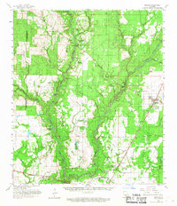
1961 Map of Oberlin
USGS Topo · Published 1968About this map
Whisky Chitto Creek and the Calcasieu River dominate this Louisiana landscape, winding through a region where the traditional river-and-rail economy is supplemented by mid-century petroleum development. Small rural communities like Mittie and the Simmons Settlement are centers of local life, supported by numerous country congregations such as Cherry Grove Ch and Harmony Church. The presence of several private water bodies, including Jerry Wright Lake and Isaiah Wright Lake, suggests family-owned landholdings along the creek bottoms.
Find a feature on this map
59 named features on this map. Tap any name to fly to it.
Don’t see what you’re looking for? This feature index may not catch every label — zoom into the map to look around manually.
Map Details
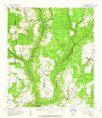
Editions of this 1961 Oberlin Map
2 editions found
Other maps of this area

1935 · Mittie
USGS Topo · 1:31,680

1935 · Oakdale
USGS Topo · 1:31,680

1942 · Oakdale
USGS Topo · 1:62,500

1947 · Kinder
USGS Topo · 1:31,680

1947 · Foley
USGS Topo · 1:31,680

1947 · Oberlin
USGS Topo · 1:31,680

1947 · Pine Chapel
USGS Topo · 1:31,680

1947 · Le Blanc
USGS Topo · 1:31,680

1947 · Elton
USGS Topo · 1:31,680

1947 · Edna
USGS Topo · 1:31,680