
1994 Map of Oberlin
USGS Topo · Published 1996About this map
The Coushatta Indian Res occupies a distinct portion of the eastern landscape in this mid-1990s record of Allen Parish. The seat of local government, Oberlin, is depicted with its organized street grid and several landmarks, including the Athletic Field and a local Cem. Outside the town center, the terrain is defined by the winding course of the Calcasieu River and its western tributaries like Sixmile Creek.
Find a feature on this map
19 named features on this map. Tap any name to fly to it.
Don’t see what you’re looking for? This feature index may not catch every label — zoom into the map to look around manually.
Map Details
Editions of this 1994 Oberlin Map
This is the sole edition of this map. No revisions or reprints were ever made.
Other maps of this area

1935 · Mittie
USGS Topo · 1:31,680

1947 · Kinder
USGS Topo · 1:31,680

1947 · Foley
USGS Topo · 1:31,680

1947 · Oberlin
USGS Topo · 1:31,680

1947 · Pine Chapel
USGS Topo · 1:31,680

1947 · Le Blanc
USGS Topo · 1:31,680

1947 · Elton
USGS Topo · 1:31,680

1947 · Edna
USGS Topo · 1:31,680
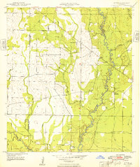
1948 · Mittie
USGS Topo · 1:24,000
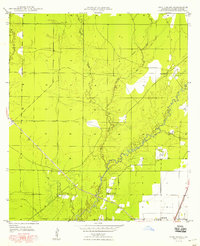
1948 · Pine Chapel
USGS Topo · 1:24,000