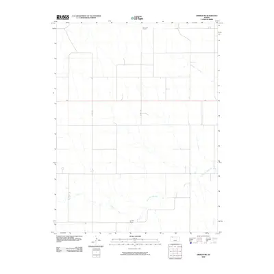
2009 Map of Oberlin SW
USGS Topo · Published 2009About this map
Saint Johns Cemetery stands as a quiet landmark in the northern reaches of this rural landscape, providing a focal point for genealogical research in this part of Rawlins County. The terrain is defined by the intermittent drainage patterns typical of the High Plains, where Johnson Draw and Lambs Draw cut through the agricultural sections. These seasonal watercourses eventually feed into the North Fork Sappa Creek, which meanders across the southeastern portion of the map. US Route 36 serves as the primary east-west corridor, bisecting the region and connecting the scattered farmsteads via a grid of section roads like Co RD 489 and Co RD 8 W. The map illustrates a classic Great Plains settlement pattern, where infrastructure follows the rigid geometry of the Public Land Survey System while natural hydrology follows the subtle contours of the land.
Find a feature on this map
7 named features on this map. Tap any name to fly to it.
Don’t see what you’re looking for? This feature index may not catch every label — zoom into the map to look around manually.
Map Details
Editions of this 2009 Oberlin SW Map
This is the sole edition of this map. No revisions or reprints were ever made.
Other maps of this area

1951 · Selden
USGS Topo · 1:62,500

1951 · Herndon
USGS Topo · 1:62,500

1951 · Achilles
USGS Topo · 1:62,500

1951 · Oberlin
USGS Topo · 1:62,500

1954 · Goodland
USGS Topo · 1:250,000

1956 · Goodland
USGS Topo · 1:250,000

1957 · Goodland
USGS Topo · 1:250,000

1965 · Oberlin
USGS Topo · 1:24,000

1965 · Oberlin SW
USGS Topo · 1:24,000

1965 · Achilles
USGS Topo · 1:24,000