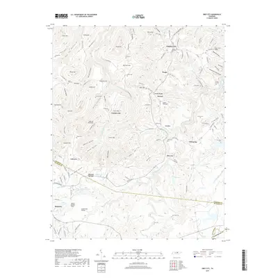
2019 Map of Obey City
USGS Topo · Published 2019About this map
Obey City and Mineral Springs sit at the intersection of steep-walled hollows and the rising plateaus of the Cumberland Plateau. This terrain is characterized by dramatic elevation changes, from the heights of France Mtn and Norrod Mtn down to the deeply incised paths of the East Fork Obey River and its numerous tributaries. The landscape is dotted with small family and community burial grounds, including the Hanging Limb Cem and Swallows Cem, which speak to the long-standing settlement of these rural ridges. Notable geographic formations like the Laboring Backbone and Officer Orchard Ridge demonstrate the area's complex topography, where narrow valleys like Obe Lee Hollow and Johnson Hollow provided sheltered pockets for development in this part of Tennessee.
Find a feature on this map
146 named features on this map. Tap any name to fly to it.
Don’t see what you’re looking for? This feature index may not catch every label — zoom into the map to look around manually.
Map Details
Editions of this 2019 Obey City Map
This is the sole edition of this map. No revisions or reprints were ever made.
Other maps of this area

1897 · Standingstone
USGS Topo · 1:125,000

1898 · Standingstone
USGS Topo · 1:125,000

1935 · Isoline
USGS Topo · 1:24,000

1935 · Campbell Junction
USGS Topo · 1:24,000

1935 · Clarkrange
USGS Topo · 1:24,000

1943 · Cookeville
USGS Topo · 1:100,000

1944 · Cookeville
USGS Topo · 1:100,000

1946 · Campbell Junction
USGS Topo · 1:24,000
1946 · Isoline
USGS Topo · 1:24,000

1946 · Clarkrange
USGS Topo · 1:24,000