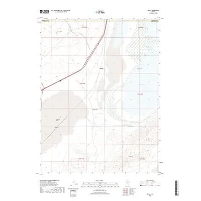
2018 Map of Ocala
USGS Topo · Published 2018About this map
Ocala and Miriam represent the small, utilitarian footprints of humans within the arid expanse of the Fortymile Desert in northern Nevada. The landscape is dominated by the hydrology of the Humboldt River system, where the Lower Humboldt Drain feeds into the terminal Humboldt Sink and Humboldt Lake. These water features, alongside Toulon Lake to the north, create a stark contrast against the surrounding dry lakebeds and high ground.
Find a feature on this map
19 named features on this map. Tap any name to fly to it.
Don’t see what you’re looking for? This feature index may not catch every label — zoom into the map to look around manually.
Map Details
Editions of this 2018 Ocala Map
This is the sole edition of this map. No revisions or reprints were ever made.
Other maps of this area
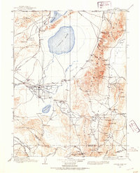
1908 · Carson Sink
USGS Topo · 1:250,000
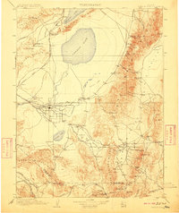
1910 · Carson Sink
USGS Topo · 1:250,000

1931 · Lovelock
USGS Topo · 1:250,000

1935 · Lovelock
USGS Topo · 1:250,000
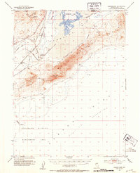
1951 · Carson Sink
USGS Topo · 1:62,500
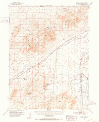
1951 · Desert Peak
USGS Topo · 1:62,500

1955 · Lovelock
USGS Topo · 1:250,000
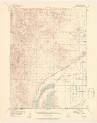
1956 · Toulon
USGS Topo · 1:62,500
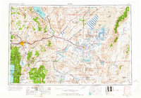
1957 · Reno
USGS Topo · 1:250,000

1959 · Lovelock
USGS Topo · 1:250,000