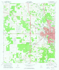
1968 Map of Ocala West
USGS Topo · Published 1977About this map
The western expansion of Ocala takes center stage in this late 1960s survey, showing a landscape defined by horse country, aviation, and emerging academic institutions. The Ocala Municipal Airport Jim Taylor Field stands as a major western landmark, while the campus of Central Florida Jr College reflects the region's mid-century growth. Settlement patterns vary from the established streets of the city to the suburban layout of Ocala Ridge and the outlying community of Martel.
Find a feature on this map
101 named features on this map. Tap any name to fly to it.
Don’t see what you’re looking for? This feature index may not catch every label — zoom into the map to look around manually.
Map Details
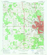
Editions of this 1968 Ocala West Map
2 editions found
Other maps of this area

1892 · Dunnellon
USGS Topo · 1:62,500

1893 · Citra
USGS Topo · 1:62,500

1894 · Dunnellon
USGS Topo · 1:62,500

1895 · Williston
USGS Topo · 1:62,500

1895 · Citra
USGS Topo · 1:62,500

1895 · Ocala
USGS Topo · 1:62,500

1954 · Cotton Plant
USGS Topo · 1:24,000

1954 · Dunnellon SE
USGS Topo · 1:24,000

1954 · Dunnellon
USGS Topo · 1:62,500

1954 · Gainesville
USGS Topo · 1:250,000