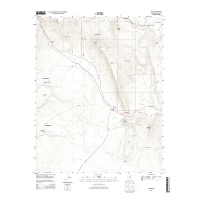
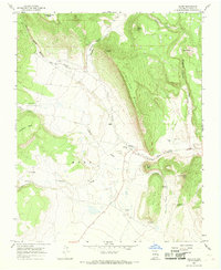
2013 Map of Ocate
USGS Topo · Published 2013About this map
Ocate sits at the intersection of high mesa country and carved drainages in Mora County, serving as a focal point for the surrounding ranches and small settlements. The landscape is defined by massive topographic features like Gallinas Mesa and LeFebres Mesa, which rise above the winding paths of Ocate Cr and LeFebres Cr. The map captures a traditional New Mexican settlement pattern, where family names are etched into the geography through features like Los LeFebres, Los Huerros, and Manueles Canyon.
Find a feature on this map
48 named features on this map. Tap any name to fly to it.
Don’t see what you’re looking for? This feature index may not catch every label — zoom into the map to look around manually.
Map Details
Editions of this 2013 Ocate Map
This is the sole edition of this map. No revisions or reprints were ever made.
Other maps of this area

1954 · Raton
USGS Topo · 1:250,000
1956 · Tooth Of Time
USGS Topo · 1:62,500
1956 · Miami
USGS Topo · 1:62,500

1958 · Raton
USGS Topo · 1:250,000
1966 · Guadalupita
USGS Topo · 1:24,000
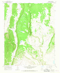
1966 · Lucero
USGS Topo · 1:24,000
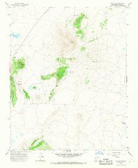
1966 · Ojo Feliz
USGS Topo · 1:24,000
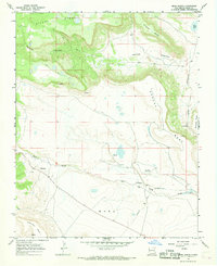
1966 · Mora Ranch
USGS Topo · 1:24,000
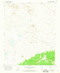
1966 · Cerro Negro
USGS Topo · 1:24,000
1966 · Ocate
USGS Topo · 1:24,000