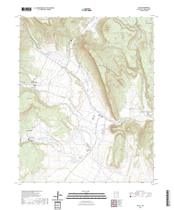
2023 Map of Ocate
USGS Topo · Published 2023About this map
Ocate serves as a central hub in this high-altitude landscape of northern New Mexico, situated where Ocate Creek emerges from the canyons. The settlement pattern is deeply rooted in the drainages, with Los LeFebres and Los Huerros established along their namesake creeks and canyons. This 2023 survey records a significant density of family and community burial grounds, including the San Juan Bautista de los Huerros Cem and Ocate Catholic Cem, which point to the long-standing genealogical history of the Mora County area. The terrain is defined by dramatic shifts in elevation, from the prominent Halls Peak in the north to the broad expanse of LeFebres Mesa. These natural barriers have historically dictated the placement of mountain roads like Canada Bonita Rd, which follows the contours between Franklin Canyon and the surrounding peaks.
Find a feature on this map
39 named features on this map. Tap any name to fly to it.
Don’t see what you’re looking for? This feature index may not catch every label — zoom into the map to look around manually.
Map Details
Editions of this 2023 Ocate Map
This is the sole edition of this map. No revisions or reprints were ever made.
Other maps of this area

1954 · Raton
USGS Topo · 1:250,000

1956 · Tooth Of Time
USGS Topo · 1:62,500

1956 · Miami
USGS Topo · 1:62,500

1958 · Raton
USGS Topo · 1:250,000

1966 · Guadalupita
USGS Topo · 1:24,000
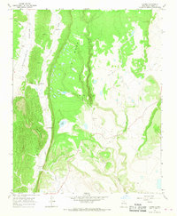
1966 · Lucero
USGS Topo · 1:24,000
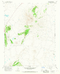
1966 · Ojo Feliz
USGS Topo · 1:24,000

1966 · Mora Ranch
USGS Topo · 1:24,000
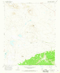
1966 · Cerro Negro
USGS Topo · 1:24,000

1966 · Ocate
USGS Topo · 1:24,000