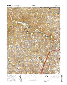
2016 Map of Occoquan
USGS Topo · Published 2016About this map
The Occoquan Reservoir and its meandering tributaries, including Wolf Run and Sandy Run, anchor this landscape on the border of Fairfax and Prince William counties. The map captures a densely developed suburban corridor shaped by the Interstate 95 artery, where major residential and commercial hubs like Dale City, Lake Ridge, and Potomac Mills dominate the terrain. This modern survey reflects the significant growth of the late 20th and early 21st centuries, showing how extensive road networks have integrated formerly distinct communities like Agnewville, Bethel, and Minnieville.
Find a feature on this map
53 named features on this map. Tap any name to fly to it.
Don’t see what you’re looking for? This feature index may not catch every label — zoom into the map to look around manually.
Map Details
Editions of this 2016 Occoquan Map
This is the sole edition of this map. No revisions or reprints were ever made.
Other maps of this area

1890 · Mt. Vernon
USGS Topo · 1:125,000

1891 · Mt. Vernon
USGS Topo · 1:125,000

1894 · Mt. Vernon
USGS Topo · 1:125,000

1897 · Mt. Vernon
USGS Topo · 1:125,000

1900 · Washington
USGS Topo · 1:62,500

1913 · Indian Head
USGS Topo · 1:62,500

1915 · Fairfax
USGS Topo · 1:62,500

1923 · Indian Head
USGS Topo · 1:48,000

1925 · Indian Head
USGS Topo · 1:62,500

1927 · Quantico
USGS Topo · 1:62,500