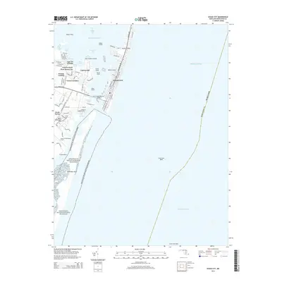
2014 Map of Ocean City
USGS Topo · Published 2014About this map
Ocean City and its barrier island geography are defined by the narrow strip of Fenwick Island separating the Atlantic Ocean from the protected waters of Assawoman Bay and Isle of Wight Bay. In this 2014 survey, the urban grid of the resort town is connected to the mainland via the Harry W Kelly Memorial Bridge, leading to the established residential developments of West Ocean City, Captains Hill, and Greenwood Place.
Find a feature on this map
80 named features on this map. Tap any name to fly to it.
Don’t see what you’re looking for? This feature index may not catch every label — zoom into the map to look around manually.
Map Details
Editions of this 2014 Ocean City Map
This is the sole edition of this map. No revisions or reprints were ever made.
Other maps of this area

1901 · Green Run
USGS Topo · 1:62,500

1901 · Ocean City
USGS Topo · 1:62,500

1938 · Green Run
USGS Topo · 1:62,500

1942 · Ocean City
USGS Topo · 1:62,500

1942 · Ocean City
USGS Topo · 1:24,000

1942 · Tingles Island
USGS Topo · 1:24,000

1943 · Selbyville
USGS Topo · 1:31,680
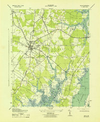
1943 · Berlin
USGS Topo · 1:31,680
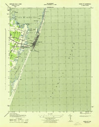
1943 · Ocean City
USGS Topo · 1:31,680
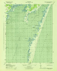
1943 · Tingles Island
USGS Topo · 1:31,680