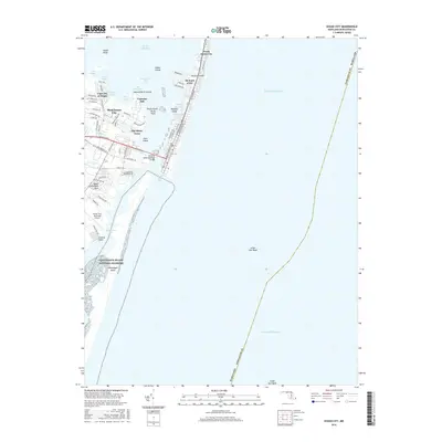
2016 Map of Ocean City
USGS Topo · Published 2016About this map
Ocean City serves as the focal point of this coastal landscape, situated on a narrow barrier island between the Atlantic Ocean and a series of protected bays. The Ocean City Inlet separates the developed resort area from the northern reaches of the Assateague Island National Seashore, providing a vital maritime passage into Sinepuxent Bay. The map highlights the contrast between the dense urban grid of the seaside city and the mainland residential pockets such as West Ocean City, Bay Shore Acres, and Captains Hill. Infrastructure like the Harry W Kelly Memorial Bridge across the Isle of Wight Bay and the Ocean City Municipal Airport underscores the area's role as a major regional destination. Smaller features like Drum Island and The Thorofare Dog and Bitch Islands illustrate the complex hydrography of the back bays, while Upper Sinepuxent Neck marks the transition toward the agricultural and marshland interior of Worcester County.
Find a feature on this map
71 named features on this map. Tap any name to fly to it.
Don’t see what you’re looking for? This feature index may not catch every label — zoom into the map to look around manually.
Map Details
Editions of this 2016 Ocean City Map
This is the sole edition of this map. No revisions or reprints were ever made.
Other maps of this area

1901 · Green Run
USGS Topo · 1:62,500

1901 · Ocean City
USGS Topo · 1:62,500

1938 · Green Run
USGS Topo · 1:62,500

1942 · Ocean City
USGS Topo · 1:62,500

1942 · Ocean City
USGS Topo · 1:24,000

1942 · Tingles Island
USGS Topo · 1:24,000

1943 · Selbyville
USGS Topo · 1:31,680
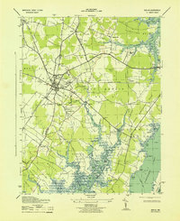
1943 · Berlin
USGS Topo · 1:31,680
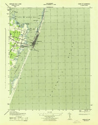
1943 · Ocean City
USGS Topo · 1:31,680
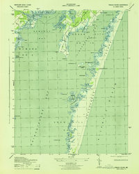
1943 · Tingles Island
USGS Topo · 1:31,680