Loading...
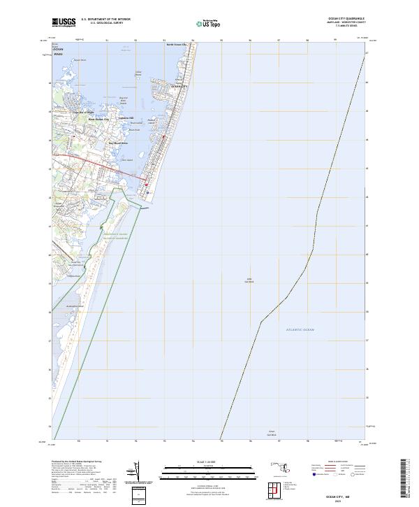
Loading map...2023 Map of Ocean City
USGS Topo · Published 2023About this map
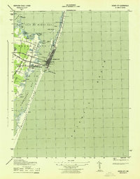
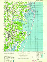
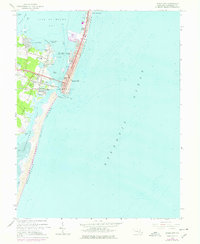
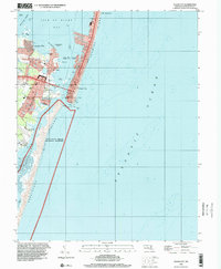
Assateague Island National Seashore and the bustling barrier island development of Ocean City define this coastal landscape where the Atlantic Ocean meets the labyrinthine waters of Isle of Wight Bay and Assawoman Bay. The modern geography is shaped by the Ocean City Inlet, a critical navigational break that separates the high-density resorts on Fenwick Island from the protected wildlands to the south.
Find a feature on this map
78 named features on this map. Tap any name to fly to it.
Don’t see what you’re looking for? This feature index may not catch every label — zoom into the map to look around manually.
Map Details
Date Portrayed2023
Date Published2023
PublisherU.S. Geological Survey
Map TypeTopographic
Scale1:24000
Physical Dimensions24 x 29 inches
Editions of this 2023 Ocean City Map
This is the sole edition of this map. No revisions or reprints were ever made.
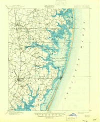
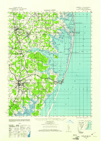
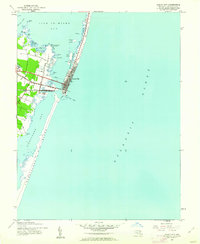
Historical Maps of Ocean City Through Time
8 maps found
Featured Locations
Source Details
SourceU.S. Geological Survey
CopyrightPublic Domain