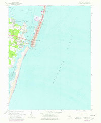
1964 Map of Ocean City
USGS Topo · Published 1978About this map
Fenwick Island serves as the focal point for this coastal study, illustrating the mid-century density of Ocean City and its expansion into North Ocean City. The map reveals a high-resolution view of the resort's infrastructure, including the iconic Boardwalk, the Municipal Pier, and the Coast Guard Sta positioned near the Ocean City Inlet. To the west, across the shallow waters of Isle of Wight Bay and Sinepuxent Bay, the landscape shifts toward the mainland developments of West Ocean City and Bay Shore Acres.
Find a feature on this map
45 named features on this map. Tap any name to fly to it.
Don’t see what you’re looking for? This feature index may not catch every label — zoom into the map to look around manually.
Map Details
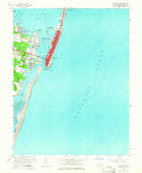
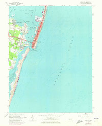
Editions of this 1964 Ocean City Map
3 editions found
Other maps of this area

1901 · Green Run
USGS Topo · 1:62,500

1901 · Ocean City
USGS Topo · 1:62,500

1938 · Green Run
USGS Topo · 1:62,500

1942 · Ocean City
USGS Topo · 1:62,500

1942 · Ocean City
USGS Topo · 1:24,000

1942 · Tingles Island
USGS Topo · 1:24,000

1943 · Selbyville
USGS Topo · 1:31,680
1943 · Berlin
USGS Topo · 1:31,680
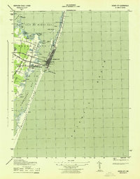
1943 · Ocean City
USGS Topo · 1:31,680
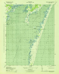
1943 · Tingles Island
USGS Topo · 1:31,680