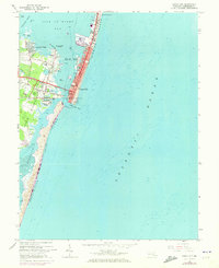
1964 Map of Ocean City
USGS Topo · Published 1973About this map
Fenwick Island is depicted during a period of significant coastal development, split from Assateague Island by the Ocean City Inlet. The primary settlement of Ocean City shows a dense grid of streets and landmarks like the Municipal Pier, while further development spreads to North Ocean City and across the Isle of Wight Bay to Cape Isle of Wight. Transportation infrastructure is well-defined, including the Baltimore and Eastern RR and the Ocean City Airport.
Find a feature on this map
42 named features on this map. Tap any name to fly to it.
Don’t see what you’re looking for? This feature index may not catch every label — zoom into the map to look around manually.
Map Details
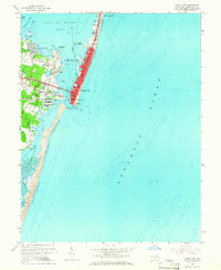
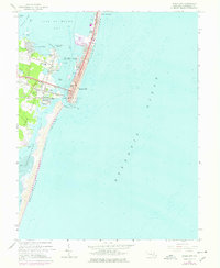
Editions of this 1964 Ocean City Map
3 editions found
Other maps of this area

1901 · Green Run
USGS Topo · 1:62,500

1901 · Ocean City
USGS Topo · 1:62,500

1938 · Green Run
USGS Topo · 1:62,500

1942 · Ocean City
USGS Topo · 1:62,500

1942 · Ocean City
USGS Topo · 1:24,000

1942 · Tingles Island
USGS Topo · 1:24,000

1943 · Selbyville
USGS Topo · 1:31,680
1943 · Berlin
USGS Topo · 1:31,680
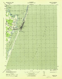
1943 · Ocean City
USGS Topo · 1:31,680
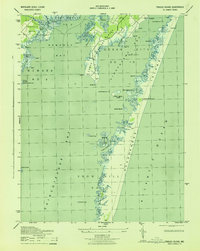
1943 · Tingles Island
USGS Topo · 1:31,680