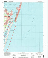
1998 Map of Ocean City
USGS Topo · Published 2000About this map
Ocean City occupies the narrow strip of Fenwick Island, separated from the mainland and West Ocean City by the waters of Isle of Wight Bay. This late-twentieth-century survey illustrates the dense urban layout of the resort, showing the famous Boardwalk and a grid of streets from 1st St up through 26th St. To the south, the Ocean City Inlet serves as a critical maritime gateway, dividing the bustling municipality from the undeveloped expanse of Assateague Island National Seashore. The map captures a landscape defined by its precarious geography, where infrastructure like the Coast Guard Lookout Tower and Municipal Pier stand against the Atlantic Ocean. Inland developments such as Cape Isle of Wight and Bay Shore Acres signify the continued residential expansion around the fringes of Sinepuxent Bay and the Ocean City Airport.
Find a feature on this map
52 named features on this map. Tap any name to fly to it.
Don’t see what you’re looking for? This feature index may not catch every label — zoom into the map to look around manually.
Map Details
Editions of this 1998 Ocean City Map
This is the sole edition of this map. No revisions or reprints were ever made.
Other maps of this area

1901 · Green Run
USGS Topo · 1:62,500

1901 · Ocean City
USGS Topo · 1:62,500

1938 · Green Run
USGS Topo · 1:62,500

1942 · Ocean City
USGS Topo · 1:62,500

1942 · Ocean City
USGS Topo · 1:24,000

1942 · Tingles Island
USGS Topo · 1:24,000

1943 · Selbyville
USGS Topo · 1:31,680
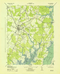
1943 · Berlin
USGS Topo · 1:31,680
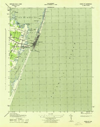
1943 · Ocean City
USGS Topo · 1:31,680
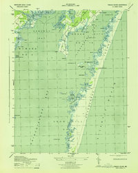
1943 · Tingles Island
USGS Topo · 1:31,680