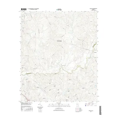
2017 Map of Ochillee
USGS Topo · Published 2017About this map
Upatoi Cr carves a winding path through the center of this landscape, forming the boundary between Muscogee and Chattahoochee counties. The area is defined by a dense concentration of named hills, including Griswold Hill, Detrow Hill, and Rockwell Hill, suggesting a terrain characterized by localized high points overlooking numerous small drainages like Wolf Cr and Pine Knot Cr. The settlement of Ochillee sits in the southwestern quadrant, while Eelbeck is located to the east near the county line. The presence of specialized road names such as 10th Armored Division Rd and 1st Division Rd points toward the military influence of the region. Local landmarks like McBrides Bridge and the Green Acres Cem provide specific points of interest for genealogists tracing family ties to this portion of Columbus.
Find a feature on this map
75 named features on this map. Tap any name to fly to it.
Don’t see what you’re looking for? This feature index may not catch every label — zoom into the map to look around manually.
Map Details
Editions of this 2017 Ochillee Map
This is the sole edition of this map. No revisions or reprints were ever made.
Other maps of this area

1907 · Talbotton
USGS Topo · 1:125,000

1908 · Columbus
USGS Topo · 1:62,500

1929 · Columbus
USGS Topo · 1:48,000

1947 · Columbus
USGS Topo · 1:62,500

1949 · Midland
USGS Topo · 1:24,000

1949 · Glen Alta
USGS Topo · 1:24,000

1949 · Upatoi
USGS Topo · 1:24,000

1949 · Ochillee
USGS Topo · 1:24,000

1949 · Buena Vista NW
USGS Topo · 1:24,000

1949 · Columbus
USGS Topo · 1:24,000