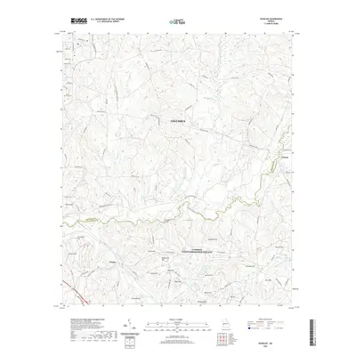
2020 Map of Ochillee
USGS Topo · Published 2020About this map
Upatoi Creek carves a winding path across this landscape, serving as a defining boundary between Columbus and Cusseta-Chattahoochee County. The terrain is characterized by a dense network of family-named heights and watercourses, reflecting the rural and military-integrated character of this region south of the city center. Settlements like Ochillee and Eelbeck anchor the eastern and southern portions of the map, while McBrides Bridge provides a key crossing point over the central creek.
Find a feature on this map
79 named features on this map. Tap any name to fly to it.
Don’t see what you’re looking for? This feature index may not catch every label — zoom into the map to look around manually.
Map Details
Editions of this 2020 Ochillee Map
This is the sole edition of this map. No revisions or reprints were ever made.
Other maps of this area

1907 · Talbotton
USGS Topo · 1:125,000

1908 · Columbus
USGS Topo · 1:62,500

1929 · Columbus
USGS Topo · 1:48,000

1947 · Columbus
USGS Topo · 1:62,500

1949 · Midland
USGS Topo · 1:24,000

1949 · Glen Alta
USGS Topo · 1:24,000

1949 · Upatoi
USGS Topo · 1:24,000

1949 · Ochillee
USGS Topo · 1:24,000

1949 · Buena Vista NW
USGS Topo · 1:24,000

1949 · Columbus
USGS Topo · 1:24,000