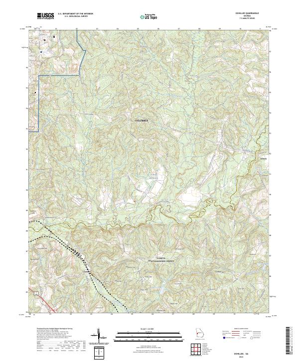
2024 Map of Ochillee
USGS Topo · Published 2024About this map
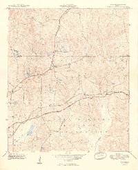
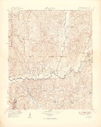
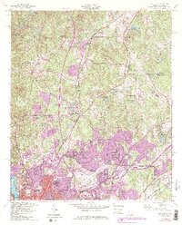
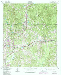
Fort Benning occupies a significant portion of this landscape east of Columbus, where the Muscogee and Chattahoochee county lines intersect. The terrain is characterized by a dense network of watercourses, including Upatoi Creek and Ochillee Creek, which are surrounded by numerous named elevations like Cleveland Hill and Griswold Hill. The presence of these named hills alongside small settlements such as Ochillee and Eelbeck suggests a region defined by its military use and rural persistence.
Find a feature on this map
78 named features on this map. Tap any name to fly to it.
Don’t see what you’re looking for? This feature index may not catch every label — zoom into the map to look around manually.
Map Details
Editions of this 2024 Ochillee Map
This is the sole edition of this map. No revisions or reprints were ever made.
Historical Maps of Columbus Through Time
9 maps found