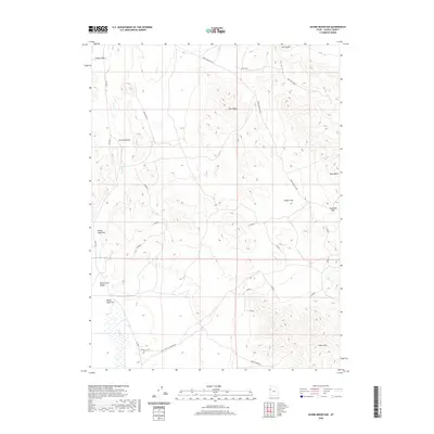
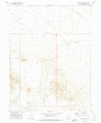
2020 Map of Ochre Mountain
USGS Topo · Published 2020About this map
Ochre Mtn and the surrounding high desert of Tooele County are defined by a network of drainage systems and isolated peaks. The terrain is structured by prominent landforms such as Twin Peaks and the passage through Gold Hill Pass, which serves as a natural corridor between the eastern highlands and the expansive White Sage Flat. The hydrological character of the area is marked by seasonal or intermittent watercourses including Deep Cr, Ferber Wash, and Gerster Gulch, all contributing to the wider Deep Creek Valley.
Find a feature on this map
19 named features on this map. Tap any name to fly to it.
Don’t see what you’re looking for? This feature index may not catch every label — zoom into the map to look around manually.
Map Details
Editions of this 2020 Ochre Mountain Map
This is the sole edition of this map. No revisions or reprints were ever made.
Other maps of this area
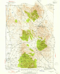
1925 · Gold Hill
USGS Topo · 1:62,500
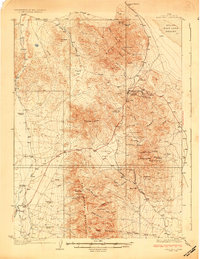
1928 · Gold Hill
USGS Topo · 1:62,500

1953 · Tooele
USGS Topo · 1:250,000

1955 · Tooele
USGS Topo · 1:250,000

1955 · Elko
USGS Topo · 1:250,000

1958 · Elko
USGS Topo · 1:250,000

1962 · Elko
USGS Topo · 1:250,000

1965 · Elko
USGS Topo · 1:250,000
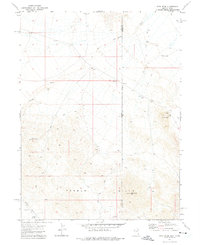
1972 · Utah Peak
USGS Topo · 1:24,000
1972 · Elephant Knoll
USGS Topo · 1:24,000