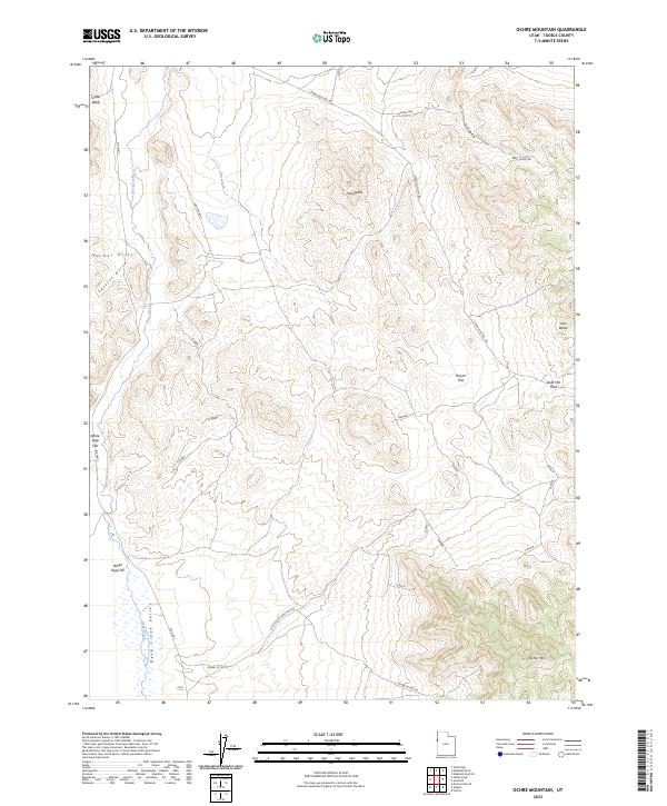
2023 Map of Ochre Mountain
USGS Topo · Published 2023About this map
Deep Creek Valley and the surrounding high desert terrain define this western Utah landscape, where the Ferber Hills meet the alluvial expanses of White Sage Flat. This 2023 survey by the U.S. Geological Survey documents a network of remote access routes, including Little Valley Junction Rd and Upper Gold Hill Rd, which connect the scattered geological landmarks and drainage systems of the Great Basin.
Find a feature on this map
32 named features on this map. Tap any name to fly to it.
Don’t see what you’re looking for? This feature index may not catch every label — zoom into the map to look around manually.
Map Details
Editions of this 2023 Ochre Mountain Map
This is the sole edition of this map. No revisions or reprints were ever made.
Other maps of this area

1925 · Gold Hill
USGS Topo · 1:62,500

1928 · Gold Hill
USGS Topo · 1:62,500

1953 · Tooele
USGS Topo · 1:250,000

1955 · Tooele
USGS Topo · 1:250,000

1955 · Elko
USGS Topo · 1:250,000

1958 · Elko
USGS Topo · 1:250,000

1962 · Elko
USGS Topo · 1:250,000

1965 · Elko
USGS Topo · 1:250,000

1972 · Utah Peak
USGS Topo · 1:24,000

1972 · Elephant Knoll
USGS Topo · 1:24,000