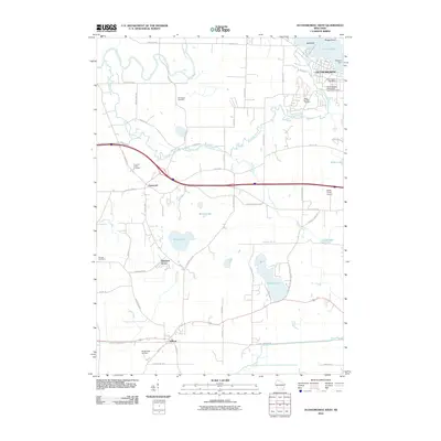
2010 Map of Oconomowoc West
USGS Topo · Published 2010About this map
Oconomowoc and its surrounding wetlands and river valleys are captured here at the start of the 2010s, showcasing a landscape defined by glacial hydrology. The Oconomowoc River meanders across the northern half of the quadrangle, passing the Oconomowoc Wastewater Treatment Facility before flowing toward the southern reaches. This area is punctuated by numerous kettle lakes and marshes, including Golden Lake, Goose Lake, and Round Lake, which dictate the irregular paths of local roads.
Find a feature on this map
62 named features on this map. Tap any name to fly to it.
Don’t see what you’re looking for? This feature index may not catch every label — zoom into the map to look around manually.
Map Details
Editions of this 2010 Oconomowoc West Map
This is the sole edition of this map. No revisions or reprints were ever made.
Other maps of this area

1892 · Watertown
USGS Topo · 1:62,500

1892 · Oconomowoc
USGS Topo · 1:62,500

1892 · Whitewater
USGS Topo · 1:62,500

1892 · Eagle
USGS Topo · 1:62,500

1893 · Whitewater
USGS Topo · 1:62,500

1894 · Watertown
USGS Topo · 1:62,500

1894 · Eagle
USGS Topo · 1:62,500

1897 · Eagle
USGS Topo · 1:62,500

1903 · Whitewater
USGS Topo · 1:62,500

1906 · Eagle
USGS Topo · 1:62,500