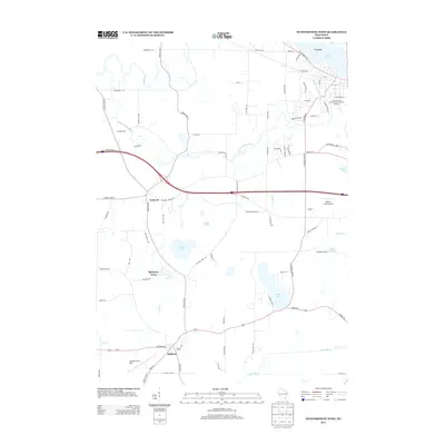
2013 Map of Oconomowoc West
USGS Topo · Published 2013About this map
The Oconomowoc River and Bark River systems define this landscape in Waukesha County, where glacial water bodies like Lac La Belle and Golden Lake anchor the surrounding residential and agricultural communities. In the north, the lakeside settlement of Islandale sits near the larger municipal infrastructure of the Oconomowoc Wastewater Treatment Facility, while the southern portion of the sheet is characterized by the village of Sullivan.
Find a feature on this map
83 named features on this map. Tap any name to fly to it.
Don’t see what you’re looking for? This feature index may not catch every label — zoom into the map to look around manually.
Map Details
Editions of this 2013 Oconomowoc West Map
This is the sole edition of this map. No revisions or reprints were ever made.
Other maps of this area

1892 · Watertown
USGS Topo · 1:62,500

1892 · Oconomowoc
USGS Topo · 1:62,500

1892 · Whitewater
USGS Topo · 1:62,500

1892 · Eagle
USGS Topo · 1:62,500

1893 · Whitewater
USGS Topo · 1:62,500

1894 · Watertown
USGS Topo · 1:62,500

1894 · Eagle
USGS Topo · 1:62,500

1897 · Eagle
USGS Topo · 1:62,500

1903 · Whitewater
USGS Topo · 1:62,500

1906 · Eagle
USGS Topo · 1:62,500