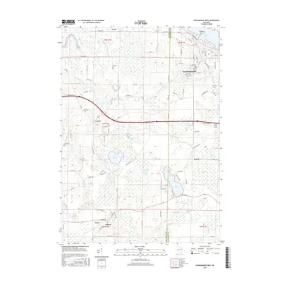
2015 Map of Oconomowoc West
USGS Topo · Published 2015About this map
The Rock River and Oconomowoc River define the hydraulic character of this Jefferson and Waukesha County landscape, where glacial legacy is evident in the cluster of kettle lakes and wetlands. The western reaches of Oconomowoc show significant residential development near Lac La Belle, while smaller agrarian hubs like Ixonia and Concord maintain a more rural footprint. Local heritage is anchored by sites like the Norwegian Cem and Concord Center Cem, offering specific points of interest for genealogists tracing early settlement patterns.
Find a feature on this map
102 named features on this map. Tap any name to fly to it.
Don’t see what you’re looking for? This feature index may not catch every label — zoom into the map to look around manually.
Map Details
Editions of this 2015 Oconomowoc West Map
This is the sole edition of this map. No revisions or reprints were ever made.
Other maps of this area

1892 · Watertown
USGS Topo · 1:62,500

1892 · Oconomowoc
USGS Topo · 1:62,500

1892 · Whitewater
USGS Topo · 1:62,500

1892 · Eagle
USGS Topo · 1:62,500

1893 · Whitewater
USGS Topo · 1:62,500

1894 · Watertown
USGS Topo · 1:62,500

1894 · Eagle
USGS Topo · 1:62,500

1897 · Eagle
USGS Topo · 1:62,500

1903 · Whitewater
USGS Topo · 1:62,500

1906 · Eagle
USGS Topo · 1:62,500