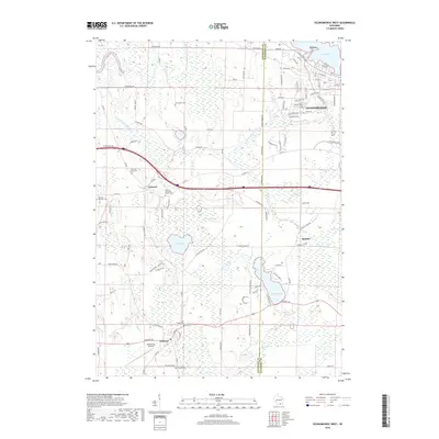
2018 Map of Oconomowoc West
USGS Topo · Published 2018About this map
Glacial topography and interconnected waterways define the landscape between Oconomowoc and Sullivan in this 2018 survey. The transition from the more developed western edge of Waukesha County into Jefferson County is marked by a series of distinct water bodies, including Lac La Belle, Golden Lake, and the meandering Bark River. The map provides significant genealogical value through its preservation of numerous small burial grounds, such as the Norwegian Cem and Concord Methodist Church Cem, which anchor the rural crossroads of Concord. Near the southern edge, the McDermott Air Park sits between Duck Cr and the local settlement of Sullivan. This modern topographical study illustrates how historical settlement patterns, like those seen at Summit, persist alongside the natural hydrology of Round Lake and Goose Lake despite 21st-century residential expansion along the county line corridor.
Find a feature on this map
105 named features on this map. Tap any name to fly to it.
Don’t see what you’re looking for? This feature index may not catch every label — zoom into the map to look around manually.
Map Details
Editions of this 2018 Oconomowoc West Map
This is the sole edition of this map. No revisions or reprints were ever made.
Other maps of this area

1892 · Watertown
USGS Topo · 1:62,500

1892 · Oconomowoc
USGS Topo · 1:62,500

1892 · Whitewater
USGS Topo · 1:62,500

1892 · Eagle
USGS Topo · 1:62,500

1893 · Whitewater
USGS Topo · 1:62,500

1894 · Watertown
USGS Topo · 1:62,500

1894 · Eagle
USGS Topo · 1:62,500

1897 · Eagle
USGS Topo · 1:62,500

1903 · Whitewater
USGS Topo · 1:62,500

1906 · Eagle
USGS Topo · 1:62,500