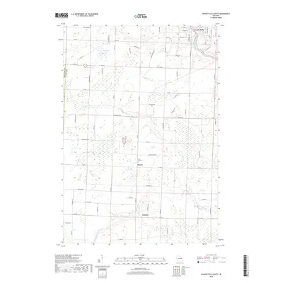
2018 Map of Oconto Falls South
USGS Topo · Published 2018About this map
Oconto Falls sits at the northern edge of this landscape, where the local terrain begins its transition toward the intricate drainage systems of Oconto County. The area is defined by the winding course of the Pensaukee River and its tributary, the N Br Pensaukee River, which create a network of wetlands including the expansive Morgan Marsh. Small rural hubs such as Morgan and Sampson serve as focal points for the surrounding agricultural and timber lands, connected by a grid of named roads like Golden Corners Rd and Sandy Corners Rd. Genealogists will find historical value in the presence of Saint Johns Cem near Morgan and Volk Cem to the north, both established landmarks that anchor the history of the local farming families. The map also captures several distinct water bodies, notably Dombroski Lake and Delzer Lake, which break up the wooded and marshy intervals of the central territory.
Find a feature on this map
74 named features on this map. Tap any name to fly to it.
Don’t see what you’re looking for? This feature index may not catch every label — zoom into the map to look around manually.
Map Details
Editions of this 2018 Oconto Falls South Map
This is the sole edition of this map. No revisions or reprints were ever made.
Other maps of this area

1954 · Green Bay
USGS Topo · 1:62,500

1955 · Seymour
USGS Topo · 1:62,500

1955 · Green Bay
USGS Topo · 1:250,000

1956 · Gillett
USGS Topo · 1:62,500

1956 · Oconto Falls
USGS Topo · 1:62,500

1974 · Abrams
USGS Topo · 1:24,000
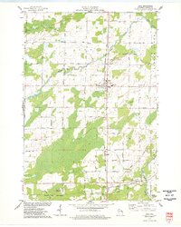
1974 · Lena
USGS Topo · 1:24,000
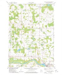
1974 · Oconto Falls North
USGS Topo · 1:24,000
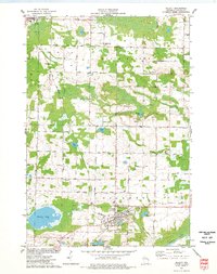
1974 · Gillett
USGS Topo · 1:24,000

1974 · Zachow
USGS Topo · 1:24,000