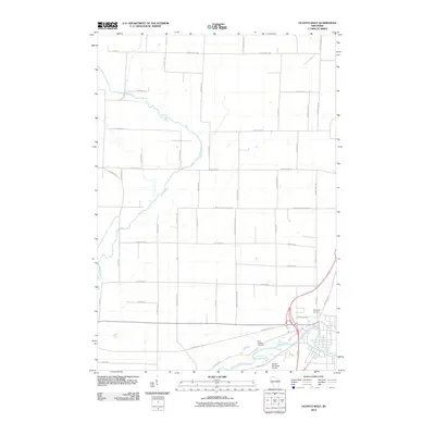
2010 Map of Oconto West
USGS Topo · Published 2010About this map
The Oconto River flows through the southern portion of this region, providing a natural focus for the development of Oconto in the early 21st century. Flanking the riverbanks are significant community landmarks including Saint Josephs Cemetery and the Oconto Municipal Airport. This area is characterized by a grid-like network of rural roads and county highways that speak to its agricultural roots, with several routes named for early local schools such as Behnke School Rd, Maple Grove School Rd, and Elm Grove School Rd.
Find a feature on this map
48 named features on this map. Tap any name to fly to it.
Don’t see what you’re looking for? This feature index may not catch every label — zoom into the map to look around manually.
Map Details
Editions of this 2010 Oconto West Map
This is the sole edition of this map. No revisions or reprints were ever made.
Other maps of this area

1939 · Porterfield
USGS Topo · 1:48,000

1941 · Coleman
USGS Topo · 1:48,000

1942 · Coleman
USGS Topo · 1:48,000

1942 · Porterfield
USGS Topo · 1:48,000

1950 · Coleman
USGS Topo · 1:48,000

1954 · Iron Mountain
USGS Topo · 1:250,000

1954 · Escanaba
USGS Topo · 1:250,000

1954 · Manitowoc
USGS Topo · 1:250,000

1955 · Green Bay
USGS Topo · 1:250,000

1956 · Oconto
USGS Topo · 1:62,500