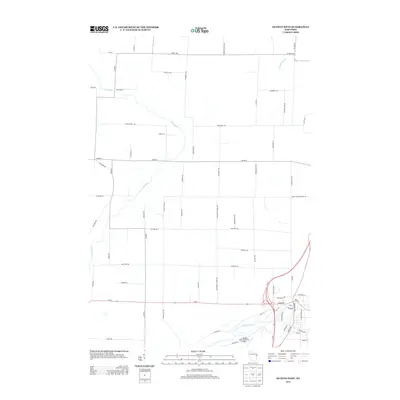
2013 Map of Oconto West
USGS Topo · Published 2013About this map
The Oconto River and Little River converge in this portion of eastern Wisconsin, framing a landscape defined by its agricultural roots and modern aviation infrastructure. The J. Douglas Bake Memorial Airport stands as a primary landmark in the southeast, serving the regional community near the river’s edge. The surrounding terrain is crisscrossed by a grid of rural roads that often reflect local history and family names, such as Rouer Ln, Lafollett Rd, and Behnke School Rd. These labels suggest the locations of former schoolhouses and the enduring influence of early settler families. Toward the north, the winding path of Thomas Slough indicates the low-lying wetland nature of the drainage basin, while roads like Hogsback Rd hint at the glacial topography and ridges typical of the Oconto County area.
Find a feature on this map
66 named features on this map. Tap any name to fly to it.
Don’t see what you’re looking for? This feature index may not catch every label — zoom into the map to look around manually.
Map Details
Editions of this 2013 Oconto West Map
This is the sole edition of this map. No revisions or reprints were ever made.
Other maps of this area

1939 · Porterfield
USGS Topo · 1:48,000

1941 · Coleman
USGS Topo · 1:48,000

1942 · Coleman
USGS Topo · 1:48,000

1942 · Porterfield
USGS Topo · 1:48,000

1950 · Coleman
USGS Topo · 1:48,000

1954 · Iron Mountain
USGS Topo · 1:250,000

1954 · Escanaba
USGS Topo · 1:250,000

1954 · Manitowoc
USGS Topo · 1:250,000

1955 · Green Bay
USGS Topo · 1:250,000

1956 · Oconto
USGS Topo · 1:62,500