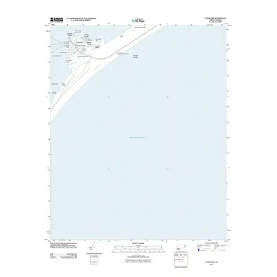
2011 Map of Ocracoke
USGS Topo · Published 2011About this map
Ocracoke serves as the focal point of this coastal survey, where the village is tightly clustered around the harbor near Windmill Point. The maritime character of the Outer Banks is evident through critical infrastructure such as the Ocracoke Light House, the Ferry Office, and the United States Park Service Docks. Beyond the main village, the landscape transitions into the distinctive terrain of Jackson Dunes, The Plains, and First Hammock Hills.
Find a feature on this map
31 named features on this map. Tap any name to fly to it.
Don’t see what you’re looking for? This feature index may not catch every label — zoom into the map to look around manually.
Map Details
Editions of this 2011 Ocracoke Map
This is the sole edition of this map. No revisions or reprints were ever made.
Other maps of this area

1948 · Portsmouth
USGS Topo · 1:24,000
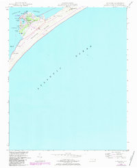
1948 · Ocracoke
USGS Topo · 1:24,000

1950 · Howard Reef
USGS Topo · 1:24,000

1950 · Portsmouth
USGS Topo · 1:24,000
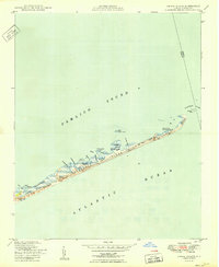
1950 · Green Island
USGS Topo · 1:24,000

1953 · Rocky Mount
USGS Topo · 1:250,000

1953 · Beaufort
USGS Topo · 1:250,000

1954 · Rocky Mount
USGS Topo · 1:250,000

1954 · Beaufort
USGS Topo · 1:250,000

1955 · Wanchese
USGS Topo · 1:250,000